This conservation area is located on the Salem and Marblehead boundary at the mouth of the Forest River, and is owned by the City of Salem and the Town of Marblehead.
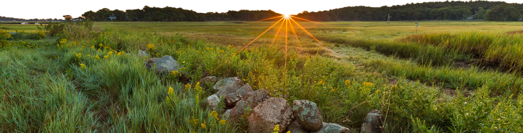
Lead Mills has been transformed from an 18th and 19th century industrial site to a lovely meadow with spectacular views of the Salem Harbor and trails that cross the open fields.
A short path through open fields connects you to a wide bike path that brings you to downtown Marblehead or Salem State University. Additionally, there are trails that run through Wyman Woods for those looking to connect with nature.
The Lead Mill's Conservation Area site plays an important role in the region's history and ecology. A 2006 archaeological investigation confirmed pre-Columbian human presence on the site. In 1732, a gristmill was located there and a lead mill started operations in 1831. The last building on the property was destroyed by fire in 1968.
The lead mills produced white lead for a range of products including bullets for the Civil War and pigment for paint. Once a hub for local industry, the lead mills at one time produced 6,000 tons of white lead annually.
Trails
Two miles of easy trails.
Conservation History
The property was purchased for conservation and recreation after plans for development were abandoned and heavy remediation of lead contamination was completed.
The acquisition and permanent protection of the Lead Mills Conservation Area was the result of a collaborative effort involving the City of Salem, the Town of Marblehead, the Commonwealth of Massacchusetts PARC Grant Program, the Marblehead Conservancy, and Essex County Greenbelt. The project was completed with generous contributions from private donors, the Towards Sustainability Foundation, and the citizens of Marblehead.
Location
There are two entrances to the property on Lafayette Street. One near the Forest River, the second near Gatchell Playground (both open in Google Maps).
GPS Location
Forest River Latitude: 42.49664761856415, Longitude: -70.88597453141134