Annisquam Woods
Dense Woodland, Stone Walls & Pond Views
Winding trails traverse a wooded hillside and lead to a picturesque overlook. Old stone walls cross the property, with majestic white pines towering overhead.
Please wait, map is loading.
Location, Directions & Parking
Annisquam Woods is located on Hutchins Court, Gloucester
- Hutchins Court, Gloucester (opens in Google Maps)
There is a parking lot with room for several cars.
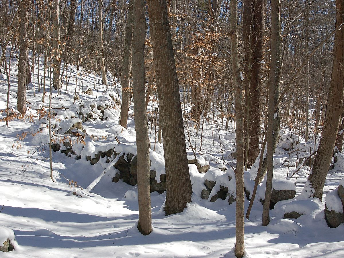
This classic Cape Ann landscape is dominated by dense woodland, granite outcroppings, glacial erratics, and stone structures attributed to Indigenous people.
A winding trail passes high above low-lying wetlands and vernal pools.
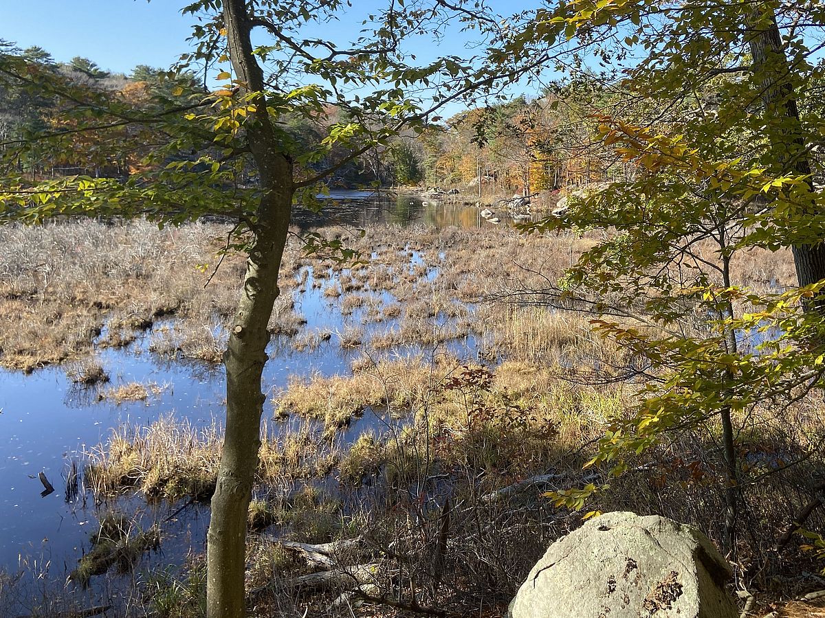
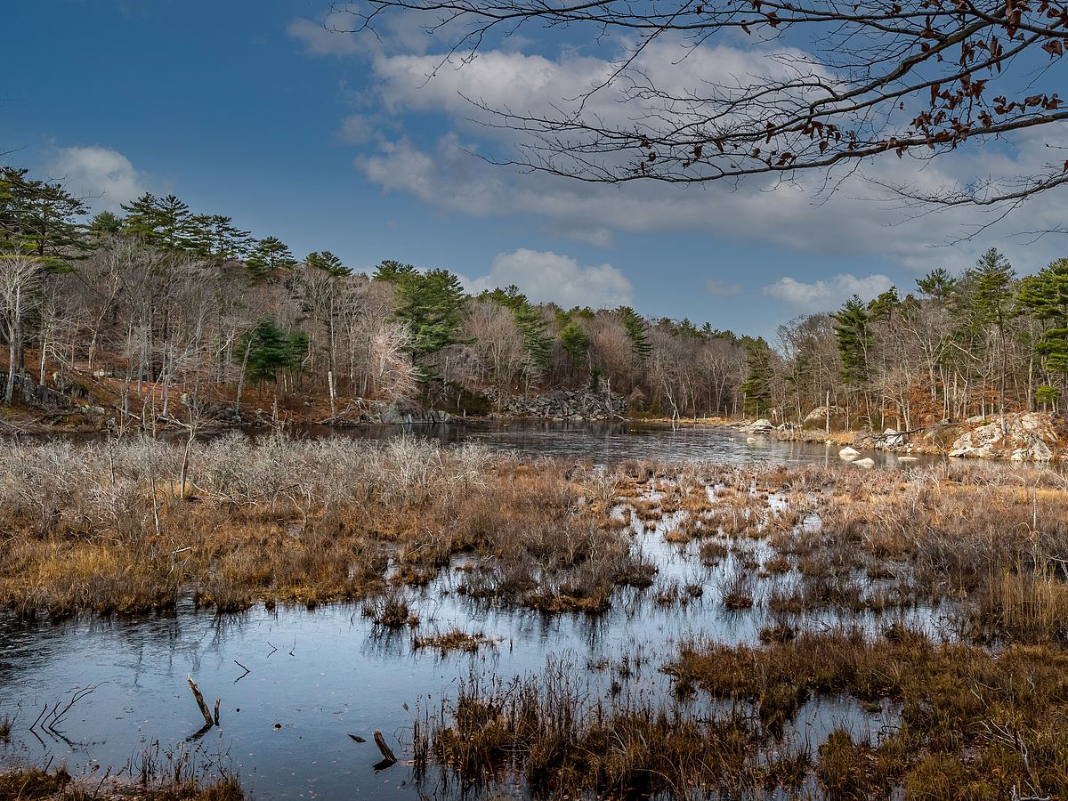
To the east, a trail spur leads to expansive views of Langsford Pond, home to beavers and waterfowl. To the west, visitors can follow a connector trail from this property all the way to Greenbelt’s Carter Reservation and Dogtown’s extensive trail network, thanks to the generosity of adjacent neighbors. Please stay on the trail and respect private property.
At the time of European contact, Algonquians known as the Pawtucket were growing corn in clearings on gentle slopes. English colonists named the area Samp Porridge Hill, describing the nausamp (corn meal) that the Pawtucket were producing in hollowed tree trunks they used as mortars.
The Pawtucket had a village at the head of Lobster Cove and a watchtower at Wigwam Point where the lighthouse is today. They kept watch for enemy raiders from the north who sometimes canoed down the coast to steal corn. Annisquam Heights was a Pawtucket burial ground. Indigenous peoples hunted beavers and waterfowl at Langsford Pond, unobstructed by dams at that time, and fished for river herring and eels.
In the 18th century, the Saville family raised sheep and ran a tannery on a portion of the property.
The property is made up of three separate acquisitions that were protected over nearly twenty years by Greenbelt with support from the Dusky Foundation, William P. Wharton Trust, City of Gloucester Community Preservation Funds, Maritime Gloucester, Anna Crouse, and individual donors.
A mature forest dominated by white pines covers the sloping hillsides that lead down to Langsford Pond. The pond has been enlarged by beaver flooding and much is covered in emergent woody vegetation.
A certified vernal pool near the pond is active in spring with egg masses of amphibians such as the spotted salamander. Look for active beaver and waterfowl out on the pond’s open water.
Get GreenbeltGo Trails App
Land Acknowledgment
The properties that Greenbelt conserves are on the ancestral lands of the Pennacook and the Pawtucket, bands of Abenaki-speaking people. Join us in honoring the elders who lived here before, the Indigenous descendants today and the generations to come. Learn more…