Beaver Pond Conservation Area
Stunning Views, Easy Footpaths, Rare Species
Wide footpaths lead visitors to views of a stunning beaver pond and remnants of a once-active heron rookery nestled in the Town Forest.
Please wait, map is loading.
Location, Directions & Parking
- Battis Road, Merrimac (Opens in Google Maps)
Park on the side of the road. The trail begins at the yellow and black gate near 18 Battis Road.
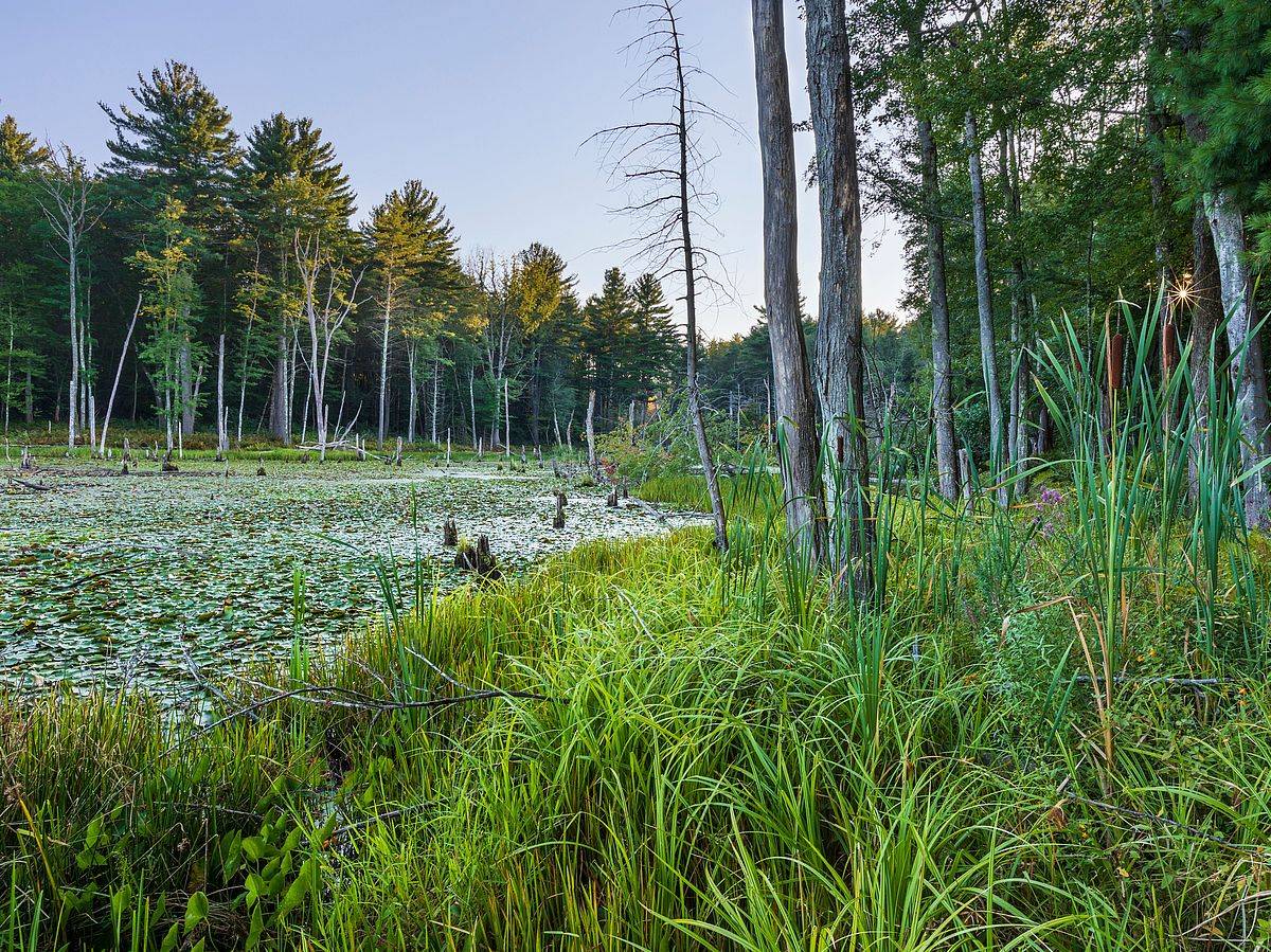
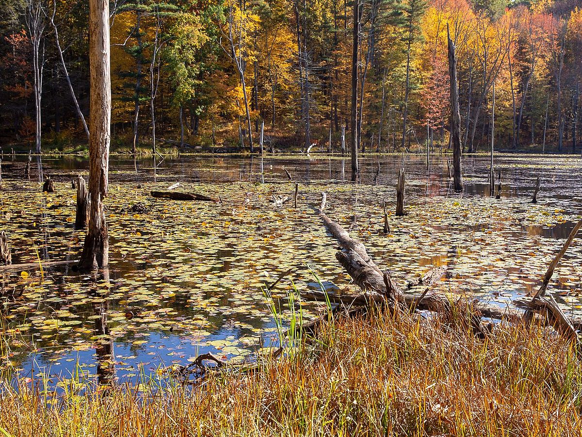
This area of town relies entirely on well water, and preserving this property helps safeguard its drinking water supply. Beavers have dammed Cobbler Brook, creating a large pond that attracts birders and hikers year-round with its scenic views.
This beautiful property on two sides of Battis Road abuts the 333-acre Merrimac Town Forest with its 28 miles of hiking trails. Cobbler’s Brook winds its way through mature woodlands and boggy wetlands on its way to the Merrimac River.
The current reservation with its groves of oaks and hickories would have been familiar territory to the Indigenous people who lived in this area at the time of European contact. The Algonquians would have canoed from the Merrimack River up the Cobbler Brook tributary to establish a winter camp here. They used frozen beaver dams as highways to safely cross ponds in winter and selectively harvested beaver pelts for the fur trade.
They tracked game in winter snow and set trap lines along the trails for fur bearing animals such as squirrels, foxes, and hares. Squirrel tails sewn onto winter cloaks were prized for decoration as well as extra warmth. Indigenous women gathered hickory nuts to make nut butters and processed the nuts of the white oak to make acorn flour, which they baked into cakes along with shelled sunflower seeds and dried berries. The people stored nut flour and meal made from wild grains as food reserves in case of corn crop failure. Around a thousand years ago Algonquians were growing maize in Essex County.
Greenbelt collaborated with Merrimac’s fourth graders—our 'future generation' who inspire much of our work—to name the property as part of their open space curriculum.
Beaver Pond was conserved in two stages: 23 acres was protected on the east side of Battis Road in 2019, and an additional 16 acres was conserved across the road in 2020. Generous support was provided by the Merrimac Open Space fund, Greenbelt’s Legacy Giving donors, private fundraising and a grant from the Commonwealth of Massachusetts’ Conservation Partnership Program.
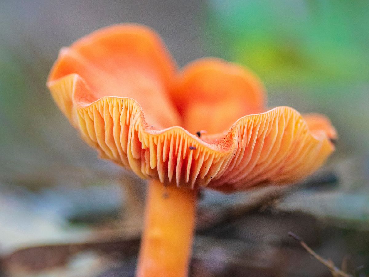
Wildlife and wildflowers abound on this parcel, whose waters have been designated by the state for their rare species habitat.
Get GreenbeltGo Trails App
Land Acknowledgment
The properties that Greenbelt conserves are on the ancestral lands of the Pennacook and the Pawtucket, bands of Abenaki-speaking people. Join us in honoring the elders who lived here before, the Indigenous descendants today and the generations to come. Learn more…
Conservation Partners

