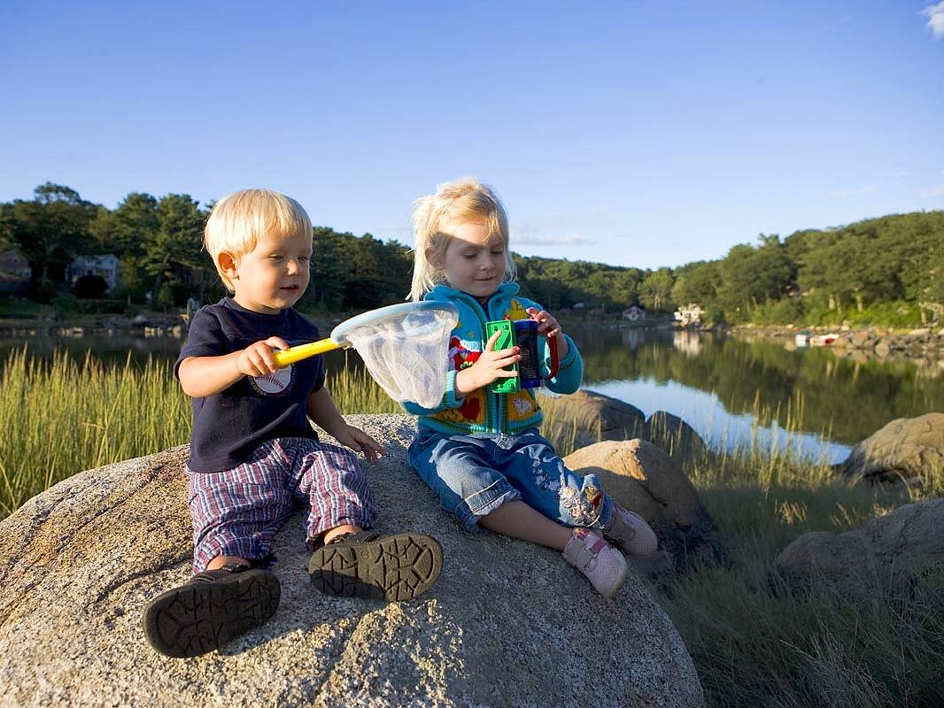
Goose Cove Reservation
Glacial Geology, Rocky Shores & Beach Views
Beautiful and tranquil scenery reward those who venture to explore this coastal reservation
Please wait, map is loading.
Location, Directions & Parking
- Washington Street, Gloucester (Opens in Google Maps)
Parking is limited to 5 cars. Park in the gravel parking lot.
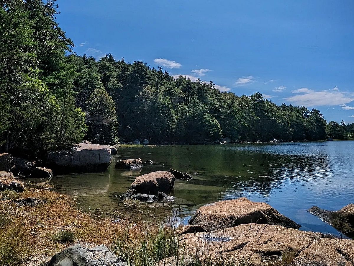

Property features 0.7 miles of easy terrain. Short trails wind through wooded uplands, rocky shorelines, and tidal mud flats, offering opportunities to explore diverse plant and animal life.
For a thousand years and more Indigenous people on Cape Ann enjoyed the ample and diverse resources to be found in the Goose Cove biome, from shellfish in the tidal flats and brackish backwaters to the deer that came to graze on saltmarsh hay. Algonquians known as the Pawtucket speared fish in this cove, which was open to the sea, gathered goldenrod flowers to flavor and color their porridges, used Spartina grasses in their basketry, and quarried the glacial moraine for stones to knap into weapons and tools.
A narrow causeway on Rt. 127 divides Goose Cove on the east from the Atlantic Ocean, the Annisquam River and Lobster Cove. Follow the trail to where upland meets salt water, creating a rich, natural habitat. The property’s geologic features include Cape Ann granite, glacial erratics, glacial outwash, and moraine.
For Greenbelt, this was one of our first conservation projects initiated by a local grassroots group who asked for help conserving an area important to them.
In spring, shadbush and cherry trees bloom. In summer, the woodland vegetation grows thick, shading the trail. Inland find honeysuckle, juniper and goldenrod. Notice the coral lichen, gray birch and sweet fern. Spartina grasses blanket the salt marsh, and the well- adapted brown rockweed kelp is visible floating with the tide.
Deer and fisher hide along upland trails. Find otter tracks on the mudflats or their slide marks on the snow in winter. Magnificent shorebirds like yellowlegs, sandpipers and plovers grace the mud flats at low tide. In winter at high tide, look for waterfowl like bufflehead and common golden-eye diving for food.
Use the first trail on the left out of the parking area that leads to the water’s edge. Available 1-2 hours before and after high tide only. Paddle the cove or if currents allow, beyond the cove to the Annisquam River.
Get GreenbeltGo Trails App
Land Acknowledgment
The properties that Greenbelt conserves are on the ancestral lands of the Pennacook and the Pawtucket, bands of Abenaki-speaking people. Join us in honoring the elders who lived here before, the Indigenous descendants today and the generations to come. Learn more…