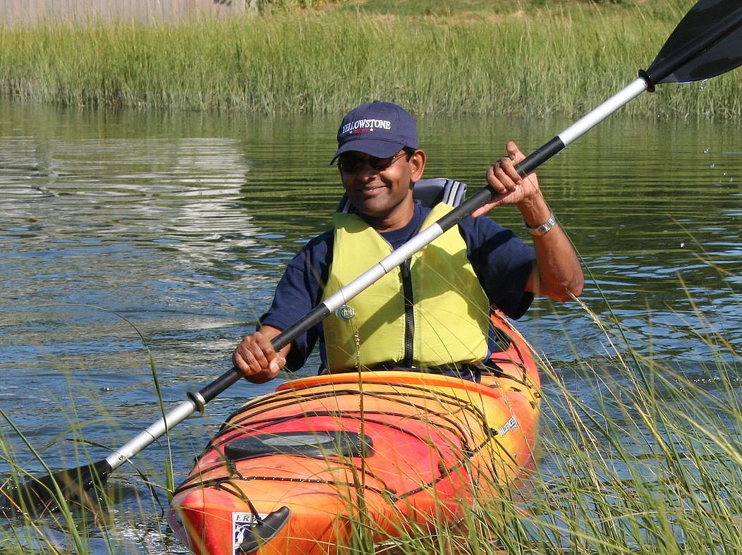
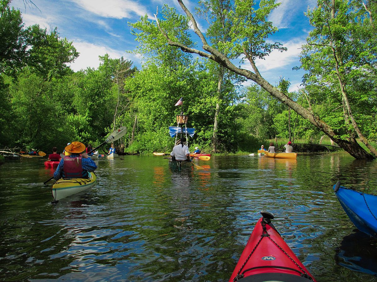
Ipswich River Paddle
Ipswich River Canoe, Kayak Launches
Delight in natural wonders experienced from the water on a paddle along the gently flowing Ipswich River, past locations where Indigenous people lived, fished and farmed.
Activities
Please wait, map is loading.
Location, Directions & Parking
- Upper River Paddle (Opens in Google Maps)
- Lower River Paddle (Opens in Google Maps)
The Ipswich River flows over 40 miles from its headwaters in Burlington, Wilmington, and Andover, and acts as an artery that supports life in our region. Humans rely on the river as a significant water supply, as well as a place to relax and enjoy outdoor recreation.
The river is also an essential link in the corridors of protected open space or greenbelts that are central to our land conservation mission. Numerous Greenbelt properties directly border the Ipswich River, and over 4,000 acres within the watershed are protected.
This stretch of the river includes the David Lampert and Thomas Sanders Reservations, which, while adjacent at Rowley Ridge Road (Upper River Paddle), are located on opposite shores. Both properties are primarily floodplain wetlands, making them wet and difficult to access. However, they provide excellent launch points for paddling on the Ipswich River.
Many plants and animals, including rare and endangered water birds and plants, depend on the Ipswich River for survival.
The areas where flowing waters meet the shore contain ecological variety not found in drier habitats. Here you’ll find many birds, including Blue-gray Gnatcatchers, Eastern Kingbirds and Baltimore Orioles.
The river offers abundant rainbow and brown trout in the late spring.
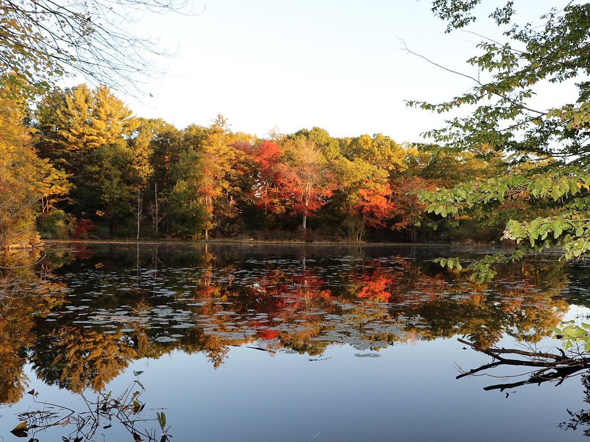
This section of the river offers meandering stretches through mature, forested woodlands as well as open views of the former Coolidge Estate, Meredith Farm and the Topsfield Fairgrounds. A beautiful downstream paddle with scenic visits and gentle currents. You can take out at the Salem Road or the Route 97 launch sites.
At the junction of Fish Brook and the Ipswich you will pass the site of “Shenewemedy”, the Pawtucket village from which the earliest English settlers derived the name of their plantation. They thought the name meant “New Meadows,” referring to the many acres along the river, including the Topsfield Fair ground, that the Pawtucket had already cleared for future cultivation.
Indigenous farmers prepared much more land for planting than they planted in any given year, to build nutrients and moisture into the mounded soil. The village place name undoubtedly was a different word in the Algonquian language with a different meaning.
This section of the river winds mostly through a broad floodplain area, where vast wetlands flank the river channel. Small channels can be explored off the main stem of the river. A serene, slow moving, downstream paddle with many wildlife watching opportunities. Starting at the Route 97 launch site, you can take out at the Asbury Street or Ipswich Road launch sites.
You will be following the great northeast bend of the Ipswich toward Ipswich Bay in the Gulf of Maine. The Ipswich River originally flowed into Massachusetts Bay at what is today the Beverly-Salem harbor. The river changed course after the end of the last Ice Age as the land rose, released from the great weight of the Laurentide Glacier. Isostatic rebound continues today, along with sea level rise. Indigenous people relied on this river to access the riches of the saltmarsh, clam flats, and islands of Ipswich Bay.
Get GreenbeltGo Trails App
Land Acknowledgment
The properties that Greenbelt conserves are on the ancestral lands of the Pennacook and the Pawtucket, bands of Abenaki-speaking people. Join us in honoring the elders who lived here before, the Indigenous descendants today and the generations to come. Learn more…