Julia Bird Reservation
River Overlook & Rich Wildlife Habitat
An extensive network of protected fields, forest, and trails along the Ipswich River provides a great place to discover how forest and field management affect the landscape.
Please wait, map is loading.
Location, Directions & Parking
- Waldingfield Road, Ipswich (Opens in Google Maps)
Just beyond the railroad bridge, turn right into a small turnoff. Parking is limited to 2 cars.
Prior to European settlement, Indigenous people living in this area used the Ipswich River to canoe to their fishing grounds in Ipswich Bay and their fishing camps and clam flats around Plum Island Sound. An archaeological survey conducted by Ripley Bullen in the 1940s identified 68 settlement sites along the Ipswich River in terrain similar to that found in the Julia Bird Reservation.
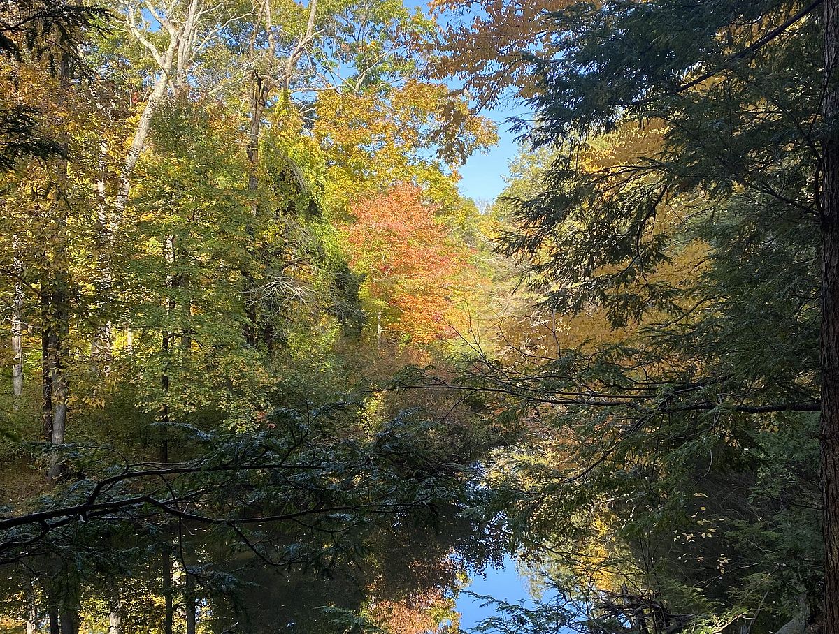
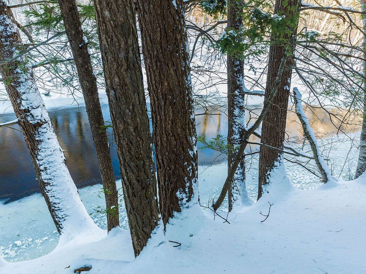
One of the most mature forests in Essex County, Julia Bird is comprised of flood plain forest with large red oak and eastern hemlocks that benefited from a forest thinning project in the 1990s. A meandering and lovely hemlock-shaded stretch of frontage on the Ipswich River provides a beautiful overlook of the river and relief on a hot summer day. In winter, the forest is a great destination to cross-country ski and snowshoe. The two fields on the property are managed differently—one is mowed as a polo practice field and the other is used as an equestrian carriage driving practice area.
Adjacent to Appleton Farm, it is part of an extensive network of protected open space along the Ipswich River throughout Ipswich, Hamilton, Wenham, and Topsfield.
Julia Appleton Bird (1894-1982) and her children donated the 59-acre portion of the Bird estate to Greenbelt in 1972. She was the daughter of Randolph Morgan Appleton and Helen Kortwright Mixter Appleton. She married Charles Sumner Bird Jr. in 1917, just before he began his service in World War I. A long history of equestrian use continues on the reservation today.
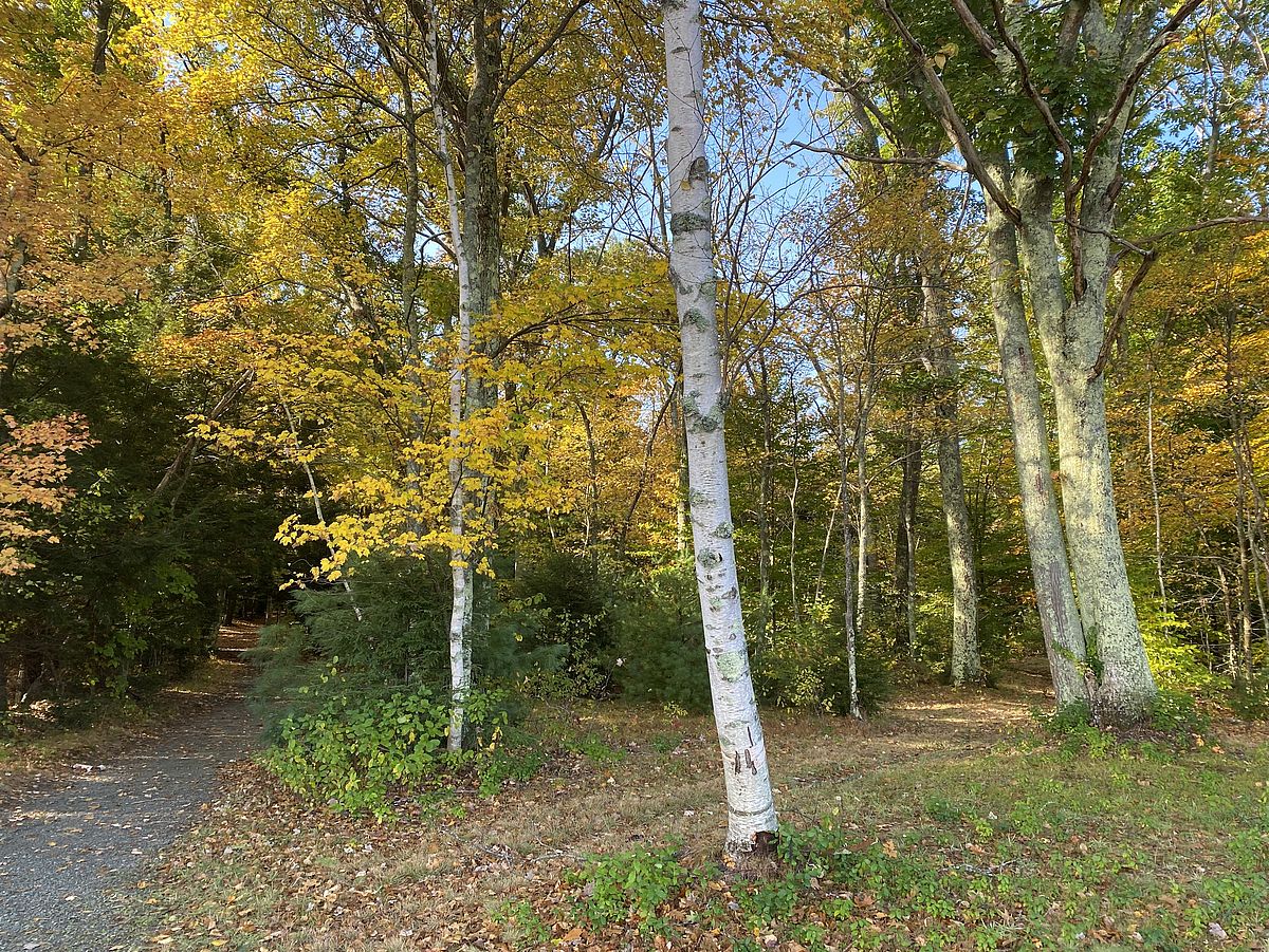
The forest in the front area is organically rich bottomland that supports mature swamp white oak, red oak, and red maple, including some trees with a diameter of nearly four feet.
This area is home to breeding birds that prefer a mature forest canopy. Many linden trees and ferns line the path, and a few birches stand near the polo field. Along the river, eastern hemlocks shade steep banks.
Vernal pools form in spring, bringing forth salamanders, nymphs, and fairy shrimp. In summer, the mature forest canopy is alive with a variety of birds. Standing dead snags also provide habitat for woodpeckers. In fall, green darner dragonflies stage for migration. Look for fisher and otter tracks at the river’s edge.
Get GreenbeltGo Trails App
Land Acknowledgment
The properties that Greenbelt conserves are on the ancestral lands of the Pennacook and the Pawtucket, bands of Abenaki-speaking people. Join us in honoring the elders who lived here before, the Indigenous descendants today and the generations to come. Learn more…