Whittier Hill Reservation
Wooded Hillsides & Poet’s Inspiration
A meandering loop trail under the high canopy of a mixed hardwood forest leads visitors up a steep incline to the top of Whittier Hill, and its spectacular views of the surrounding area, including Woodsom Farm and Lake Gardner.
Please wait, map is loading.
Location, Directions & Parking
- Whitcher Court, Amesbury (Opens in Google Maps)
Park on Whitcher Court.
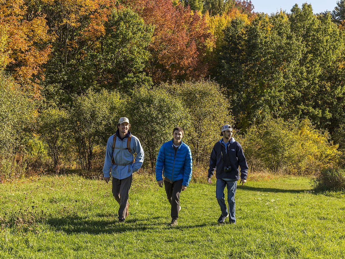
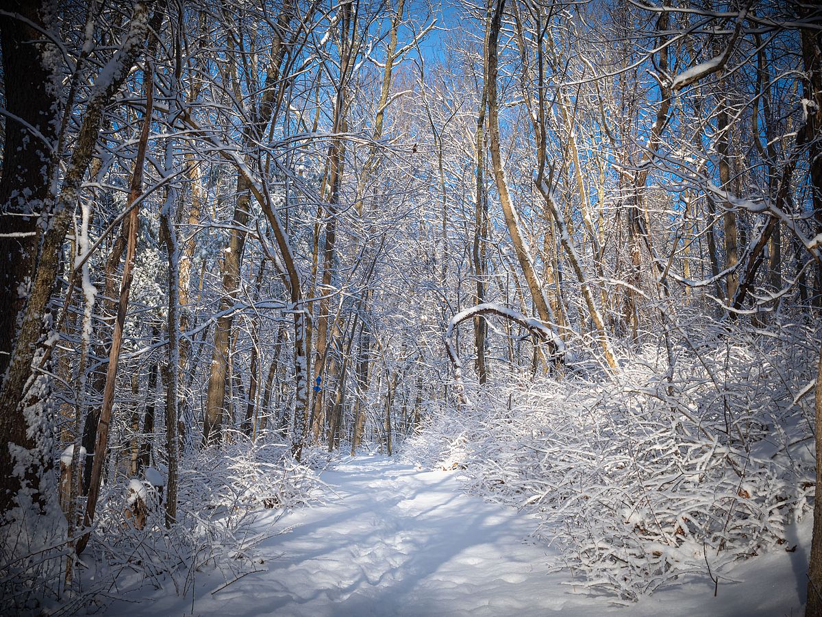

A tear-shaped drumlin, Whittier Hill is a glacial formation formed during the Ice Age. A meandering loop trail under the high canopy of a mixed hardwood forest leads visitors up a steep incline to the top of Whittier Hill, the last remaining unprotected ridge line in Amesbury, and its spectacular views of the surrounding area, including Woodsom Farm and Lake Gardner.
The trail system climbs a route that had evolved from a Native American path to carriage road to trail in the town’s history.
Prior to English settlement, this area was the homeland of the Pentucket, a branch of the Pennacook-Abenaki people of the lower Merrimack Valley in New Hampshire.
Pentucket was the name of an Indigenous village that is now part of Haverhill. Colonists referred to the people by their place name. We don’t know what the people called themselves, but they canoed to the Merrimack via the Powwow River and made most of the trails in the vicinity that are roadways today. The Pentucket would have been stewards of Whittier Hill’s oaks and white pines as well as the birches and beeches of nearby Woodsom Farm.
A substantial part of Whittier Hill, an important link in Amesbury’s conservation corridor, was permanently preserved through a community-based fundraising campaign. The partnership protected a valuable conservation corridor with important woodlands.
The hill is completely forested with a mix of oak, beech, maple and pine. Various ferns are common on the forest floor and high bush blueberry can be found in some of the low-lying wetter areas.
Game trails used by deer, coyote and other woodland animals crisscross the hill, and owls and hawks can be seen and heard overhead during various seasons. Springtime migratory warblers abound along the trail.
America’s “Quaker Poet” and abolitionist John Greenleaf Whitter lived in a home below the hill for 56 years. Though he was color blind, Whittier was known to climb the hill to watch the setting sun, and the view is described in his poem The Preacher.
Over the woods and meadow-lands
A crimson-tinted shadow lay,
Of clouds through which the setting day
Flung a slant glory far away.
It glittered on the wet sea-sands,
It flamed upon the city’s panes,
Smote the white sails of ships that wore
Outward or in, and glided o’er
The steeples with their veering vanes!
Get GreenbeltGo Trails App
Land Acknowledgment
The properties that Greenbelt conserves are on the ancestral lands of the Pennacook and the Pawtucket, bands of Abenaki-speaking people. Join us in honoring the elders who lived here before, the Indigenous descendants today and the generations to come. Learn more…