River Road Conservation Area
Scenic Woodlands, River Views & Looping Trails
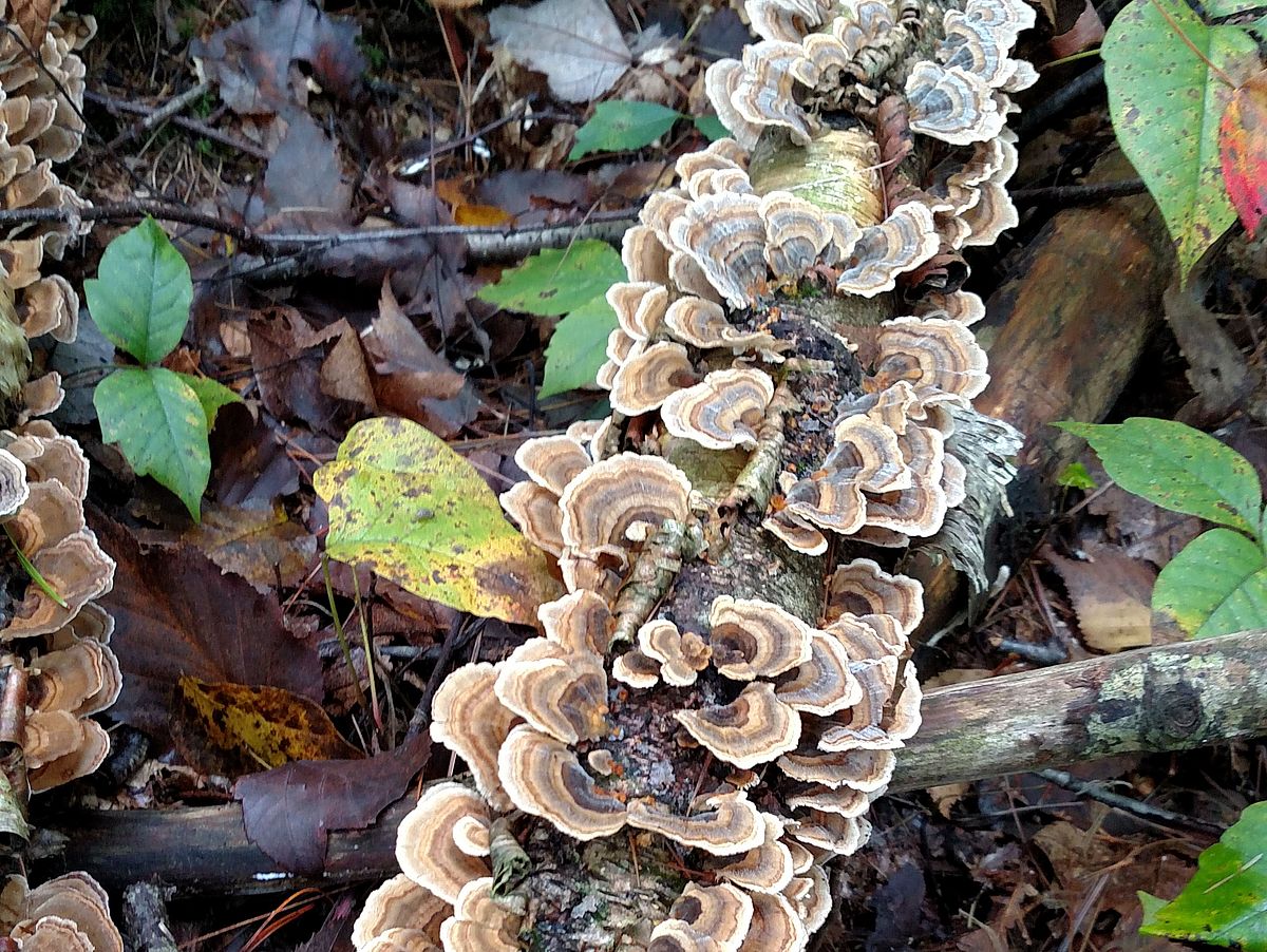
Rising up from the Merrimack River, this wooded hillside offers a mix of dense pine stands, open birch groves, wetlands and a beautiful stream.
Please wait, map is loading.
Location, Directions & Parking
- River Road, West Newbury (Opens in Google Maps)
There is a small parking area near 222 River Road.
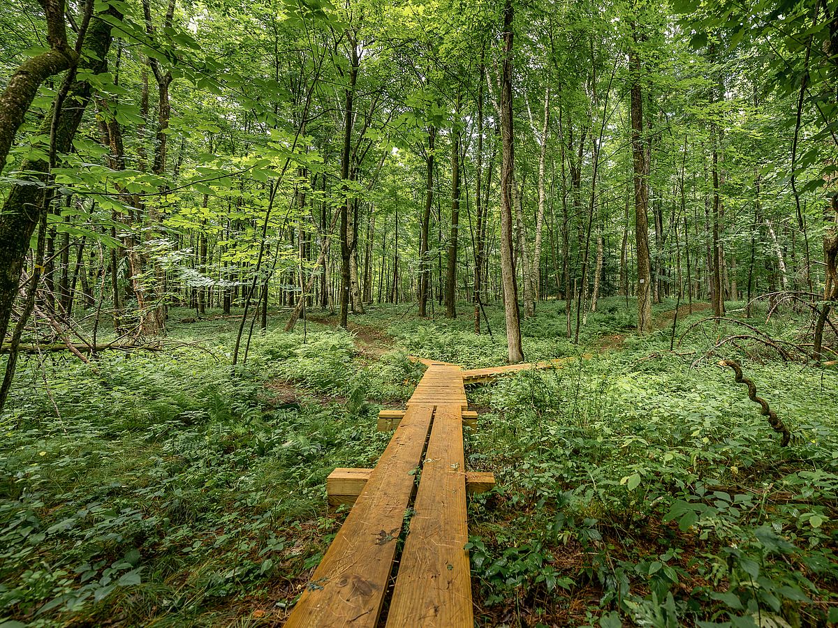
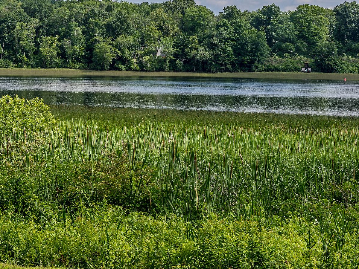
Its two parcels on the north side of River Road lie adjacent to the river. One is dry enough to offer the opportunity for foot access to the Merrimack River. There is a figure eight trail, with the first loop 0.5 miles and both loops totalling 0.7 miles of easy terrain. The elevation starts with a gentle rise of about 30 feet to the first split in the trail, then it rises more steeply at the south side of the property to a height of 98 feet.
This conservation area straddles what many consider “the most scenic road in West Newbury.” Bald eagles are common winter residents along the river and nest a short distance away in summer. Forested river banks such as these are important for naturally purifying runoff flowing to the Merrimack River.
The looping trails offer easy access to this woodland, with sturdy boardwalks crossing several wetlands. Highlights include the old stone walls and the birch grove found along the upper trail loop.
For Indigenous people of southern New Hampshire and northern Essex and Middlesex counties in Massachusetts, the Merrimack River was a major canoe thoroughfare between Lake Winnipesaukee and the sea. The Merrimack also connected all their villages dotting its shores. Archaeological surveys in the 1940s identified more than a hundred settlement sites on both banks of the river. The people there at the time of European contact were branches of the Pennacook people of New Hampshire: the Pawtucket and the Pentucket.
The Indigenous people fished in the Merrimack for river herring, salmon, and sturgeon, prized for caviar. Men caught sturgeon from their canoes at night using torchlight to attract the fish to the surface. The Merrimack offered other important subsistence resources as well. Women seasonally harvested the wild rice growing on the banks and in the tributaries. They would bend the grasses over the gunnels of their canoes, beat out the rice kernels onto woven mats, and then release the plants to continue growing.
With support from the Open Space Committee, West Newbury residents voted in 2019 to approve $75,000 in Community Preservation Act (CPA) funds for the purchase of a Conservation Restriction on the River Road property.
The remaining $140,000 needed to purchase and conserve the land was fundraised privately by Greenbelt. Greenbelt is grateful to many individual donors, the residents of West Newbury, and the Fields Pond Foundation for their generous support that made this conservation project a success. More than half of the gifts received for this project were from West Newbury residents.
"River Road with 31 acres of woodlands with river access adds to West Newbury's large and expanding portfolio of conserved acreage crisscrossed by 30 miles of trails," said West Newbury resident and Open Space Committee chairman John Dodge. "This community is committed to maintaining its rural character and heritage. What's more, this is 31 acres of wildlife habitat that will not disappear. Deepest thanks to all who contributed their time, energy and money to preserve the River Road parcel."
Mature woodlands with stands of white pines, oaks, maples and birches. The banks of the Merrimack River still harbor wild rice, a rare plant that is critical food and habitat for waterfowl.
The woodlands along the trails are home to great-horned owls, who may nest in the mature pines. Bald eagles are common in winter soaring over or perched in trees along the Merrimack River.
Get GreenbeltGo Trails App
Land Acknowledgment
The properties that Greenbelt conserves are on the ancestral lands of the Pennacook and the Pawtucket, bands of Abenaki-speaking people. Join us in honoring the elders who lived here before, the Indigenous descendants today and the generations to come. Learn more…
Conservation Partners
