Tompson Street Reservation
Challenging Hikes Lead to Spectacular Views
Experience an exceptional example of Cape Ann’s unique rugged landscape. Stunning views of Gloucester Harbor and Ipswich Bay await those who climb Sunset Mountain and Eagle Rock. Vernal ponds, a red maple swamp and diverse natural communities thrive.
Please wait, map is loading.
Location, Directions & Parking
There are several parking areas on different sides of the Reservation.
All parking locations links open in Google Maps.
- Sunset Mountain Gateway Space for 4-5 cars.
- Rt. 133/Essex Street
- Bray Street/Old Tompson Street
- Bray Street Gateway Space for 3-4 cars.
- Norcross Gateway Space for a dozen cars.
- Beaver Pond Trail Parking Space for 3-4 cars.


12.2 miles of moderate-to-difficult terrain. There are four trail loops (see below).
The varied landscape offers a vast number of interconnected trails that transport you back in time. Many trails are the footpaths used by early English settlers. Old wagon paths that provided access to thick woodlots crisscross the main trails. Look for wagonwheel scars on some ledge rocks.
EAGLE ROCK TRAIL
Stunning Panoramic Views
Bray Street Entrance
1.4 Mile Trail Loop with moderate-to-challenging terrain
Follow the red trail markers, cross the boardwalk, bear right at the first intersection and up a gradual slope through a forest of oak, maple and cherry. To your right, observe a stunning granite outcropping spilling down into a small brook. Continue to a massive granite rock face — the base of Eagle Rock. The trail bends to the right and weaves its way across exposed granite, eventually leading to one of the most spectacular views in Essex County. Ipswich Bay and much of the Great Marsh lie to the north.
New Hampshire and Maine may be visible. Follow the red trail markers back to the first intersection and bear right, continue on the winding trail through low bush blueberry, pitch pine and small hardwoods. The route leads back to the main trail and then to the parking area.
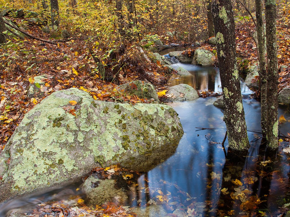
Red Maple Swamp Trail
“Split Rock” Erratic, Elevated Boardwalk
Norcross Gateway Entrance
2.1 Mile Trail Loop with moderate terrain
Start up the wide trail with orange trail markers and notice the beautiful stonework of the once working farm here. The trail narrows, crosses a short boardwalk, and passes a large glacial erratic called “Split Rock” before skirting the edge of a large red maple swamp now flooded by beavers.
Follow the single-track trail through a young hardwood forest and traverse an elevated boardwalk across the flooded swamp. Note the beaver lodge to your right. Look for beavers at dawn and dusk. Many dead standing trees attract woodpeckers, wood ducks and other waterbirds. Across the boardwalk the orange-marked trail leads uphill and makes a large loop through a mixed forest of pine and hardwoods with many granite outcroppings before it returns to the boardwalk and the parking area.
Sunset Mountain Trail
Vista Overlooking Cape Ann
Sunset Mountain Gateway Entrance
0.8 Mile Trail Loop with moderate to difficult terrain
Climb the granite steps from the parking lot, then follow the blue trail markers through a mixed pine and hardwood stand of trees. As you climb higher, trees will become noticeably smaller as they struggle to grow in the rocky terrain.
At the summit, you will be standing atop stunningly large granite outcroppings with breathtaking open views in all directions. A perfect spot to picnic or watch the sunset.
Following the blue trail markers, hike off the summit and wind downhill through trees and rocks, across more exposed granite outcroppings, before dropping back down toward the cemetery and to the parking area.
Beaver Pond Trail
Southern Bray Street Entrance
1.6 Mile Trail Loop with moderate terrain.
Follow the pink trail markers from the southern parking area on Bray Street, cross the boardwalk and stay right as the trail crosses an old beaver dam and heads uphill to reveal magnificent views of the beaver pond. Look for signs of beaver activity and aquatic life.
Continue along the trail to reach the southernmost portion of the loop for an opportunity to connect to the Sunset Mountain Trail, or as the trail turns northward, enjoy views of the Red Maple Swamp as the trail meanders through rolling hills leading back to the Southern Bray Street entrance.
Experience an exceptional example of Cape Ann’s unique rugged landscape. Stunning views of Gloucester Harbor and Ipswich Bay await those who climb Sunset Mountain and Eagle Rock. Vernal ponds, a red maple swamp and diverse natural communities thrive.
Indigenous people explored the diverse terrains represented at Tompson Street Reservation. Sunset Mountain, with its exposed bedrock and at an elevation of 161 feet, may have had spiritual significance for the Algonquians who lived here prior to English settlement.
A trail off Old Thompson Street Cart Path leads to a prominent jumble of Avalonian boulders that Indigenous people and others used as a rock shelter.
The ancient rocks feature edible lichens known as rock tripe. Algonquians collected lichens to serve as emergency food and to give to young children to stave off hunger between meals. Important edible plants, such as sassafras, still grow there. A diversity of habitat, woodland and swamp is prevalent here. The woods contain young trees and shrub growth as a result of years of sporadic fire activity.
The property takes its current name from Old Tompson Street, a colonial way named for Reverend Samuel Tompson, pastor of the Second Parish Church. Establishment of this church in 1716 meant that West Gloucester residents did not have to make the hours-long journey through the woods and across the bay to the First Parish Church in downtown Gloucester. Look for the stone circle and metal cross that mark the site of the Second Parish Meetinghouse.
Tompson Street Reservation is among Greenbelt’s largest public properties. Exposed bedrock of Cape Ann granite exists in interesting and beautiful outcroppings throughout the site. Because of its color and quality, the granite found here was sought after for construction along the eastern seaboard during the 19th and 20th centuries. Atop the largest of the exposed ledge, Eagle Rock, you are treated to a stunning panoramic view of Cape Ann. Sunset Mountain, in the southern end of the reservation, features a spectacular vista looking out over Cape Ann.
You will notice the sweet-spicy scent of sweet pepperbush growing near the red maple swamp in late spring and early summer. The white, bell-shaped flowers of teaberry abound along the ground. Red berries with a wintergreen scent are found on these bushes in autumn and winter.
Several vernal pools exist here. Look for salamanders, fairy shrimp and wood frogs in spring along with migratory songbirds, such as warblers, flycatchers and thrushes as they return to breed. Turkey vultures can be seen riding air currents above Sunset Mountain all year. Tracks of deer, coyote and fox are easily spotted in snow.
Get GreenbeltGo Trails App
Land Acknowledgment
The properties that Greenbelt conserves are on the ancestral lands of the Pennacook and the Pawtucket, bands of Abenaki-speaking people. Join us in honoring the elders who lived here before, the Indigenous descendants today and the generations to come. Learn more…