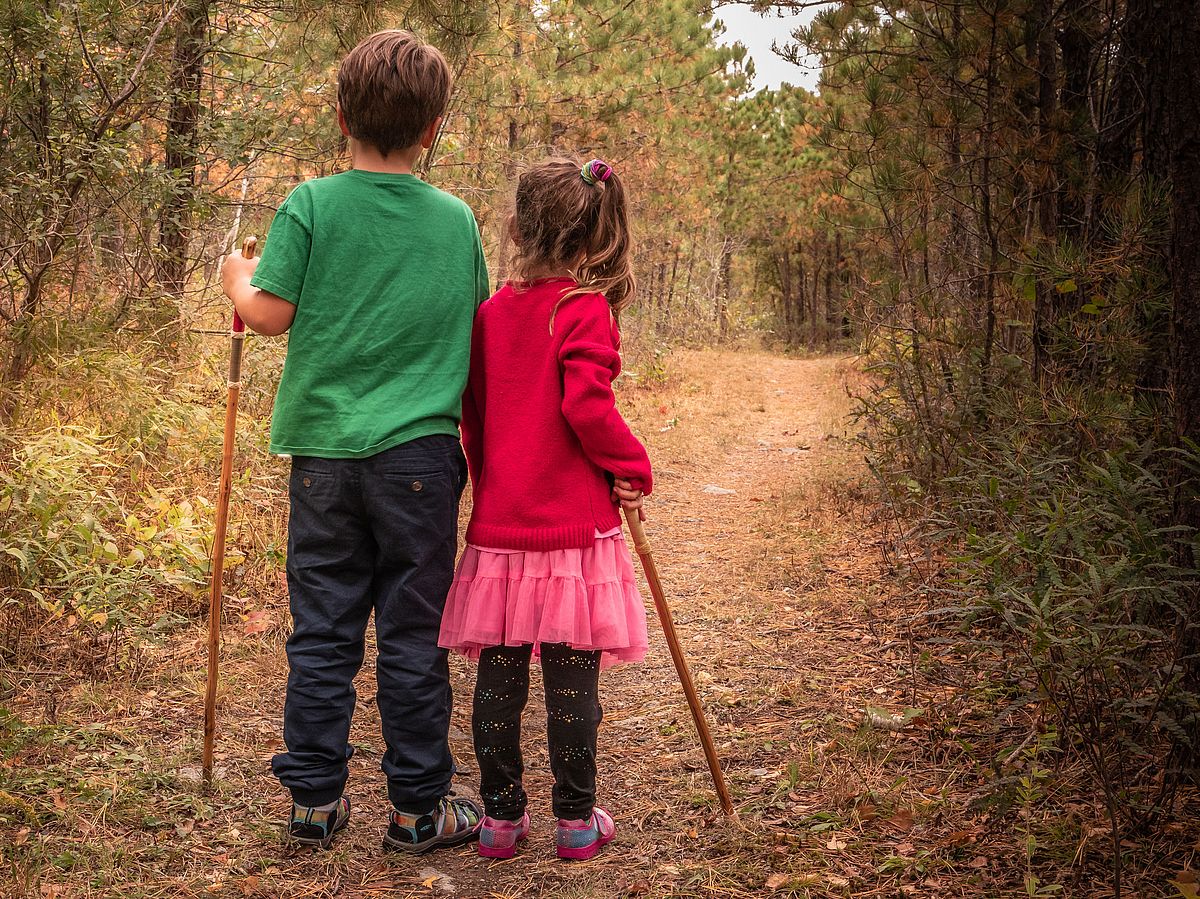
Woodland Acres
Vernal Pools, Connections to Conserved Land
Remnants of the Massachusetts sheep industry abandoned in the 1800s can be observed in the numerous stonewalls running through the woods. Experience vernal Pools, pitch pine regeneration and geological formations.
Please wait, map is loading.
Location, Directions & Parking
There is parking and trail entrances on both Hillside Road and Woodland Road.
- Hillside Road (Opens in Google Maps)
- Woodland Road (Opens in Google Maps)
There are spaces for five cars on Hillside Road and two cars at Woodland Road.


At Woodland Acres, remnants of the Massachusetts sheep industry abandoned in the 1800s can be observed in the numerous stonewalls running through the woods. Vernal Pools, pitch pine regeneration and geological formations are just a few of the natural features to experience. Hikers can explore trail connections to conserved land.
Prior to English colonization, Pigeon Cove in Rockport was home to the Pawtucket and earlier Indigenous people, first as seasonal migrants to the on-shore and offshore fisheries and rookeries, and later as horticultural villagers. They also quarried blue quartz here and conducted communal game drives in Cape Ann’s woodland interior.
Pigeon Hill and Pool Hill were ceremonial gathering places for expressions of Algonquian spirituality. Local newspaper accounts describe how Indigenous groups continued visiting their ancestral sites in Pigeon Cove throughout the late nineteenth and early twentieth centuries.
The agricultural practice of sheep grazing by English settlers left Pigeon Cove mostly deforested, and because the abandonment of the sheep industry came before the time of non-native invasive species that we know today, revegetation came back in the form of pitch pines and native shrubs, making this an unusual example of native regeneration.
In the mid-1990s, permits were granted that would have allowed 75 homes to be constructed on this land. Map programs may still show the proposed Juniper and Briarwood Roads; the remnants of these subdivisions roads form the base of the loop trail. Piles of dirt and rock -- now covered in vegetation -- are left over from the initial site work.
Through the work of many people over the years, and with funding from the Town of Rockport and Greenbelt, the land was acquired and permanently protected in 2017.
Blueberry, blackberry, wild strawberry and sweet pepperbush can be found. Look for pine-specific birds such as nuthatches, finches, grosbeaks, and chickadees. Birches, aspen and red maple also populate the woodland.
Get GreenbeltGo Trails App
Land Acknowledgment
The properties that Greenbelt conserves are on the ancestral lands of the Pennacook and the Pawtucket, bands of Abenaki-speaking people. Join us in honoring the elders who lived here before, the Indigenous descendants today and the generations to come. Learn more…
Conservation Partners
