Carter Reservation
Glacial Erratics, Dogtown Trails & Vernal Pond
Enormous glacial erratics rest within a mixed hardwood forest located in the westerly section of Dogtown Common.
Por favor, espere, el mapa se está cargando.
Location, Directions & Parking
- Dennison Street, Gloucester (Opens in Google Maps)
Park at the Greenbelt sign at the end of Dennison Street. Parking is limited to three cars.

The Carter Reservation offers a great lesson in the glacial geology of New England. As part of the terminal moraine that comprises all of Cape Ann, this land is among the final resting places for rocky debris left behind by melting glaciers over 10,000 years ago.
Many huge boulders, which were dragged south from as far away as Newfoundland, look as if they have just dropped from the sky. Glacial drumlins (mounds of compact silt and clay known as “till”) and eskers (sinuous ridges of silt, sand and gravel) are also remnants of glacial activity in the area. Stone walls and old house foundations from the area known as Dogtown remain as visible reminders of the region’s human history.
In this ancient landscape, Indigenous people known as Algonquians hunted deer, set trap lines for fur-bearing animals, made rock shelters, and foraged for amphibians and reptiles in the vernal ponds. Algonquians had special appreciation for turtles, snakes, frogs, and birds because of the way these creatures visibly transform over a lifetime and because they represent spirits of the water world. The people represented spirit animals in stone on the landscape in ceremonial gathering places.
By around 1,000 CE, Pawtucket people living on Goose Cove and Lobster Cove were practicing silviculture on this landscape, managing groves of white pine, for example, to enhance tree growth for their needs, to protect fruit and berry-bearing plants in the understory, and to maintain sustainable habitat for forest animals.
In the mid-1700s, this region was the most populous and prosperous in early Gloucester. As residents moved to the coastline in the mid-1800s, some widows of fishermen and soldiers did stay, keeping dogs for protection and company. Eventually these residents passed on; their dogs became feral, and the area became known as Dogtown.
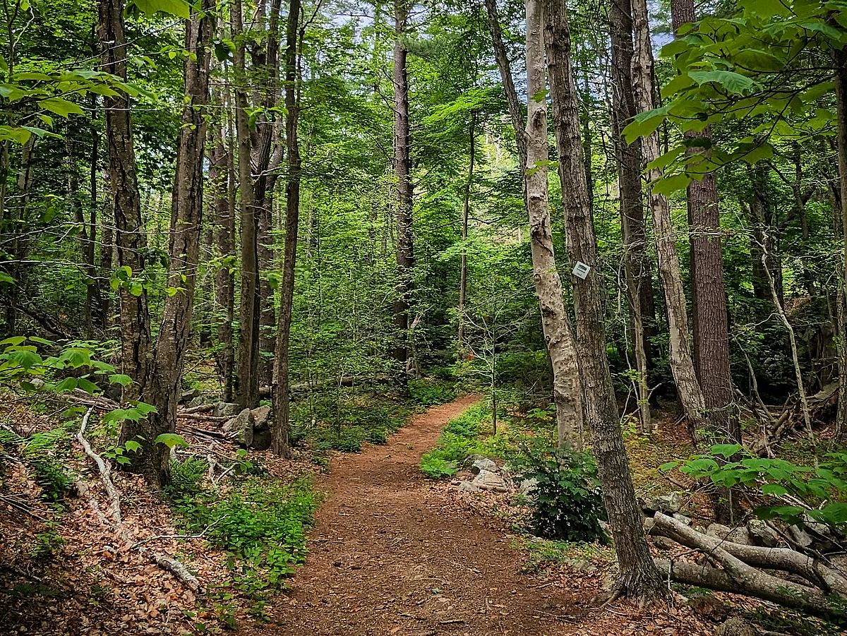
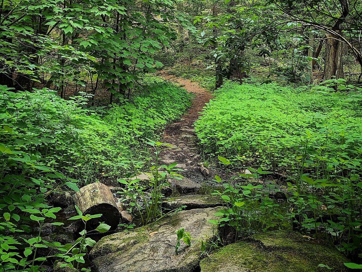
A dense woodland with mature white pine and hardwood forest. A wetland and stream skirt the trail, fertile ground for lady slippers and Canada mayflower in May and June.
The forest canopy offers a great place to look for woodpeckers and migratory songbirds. The vernal pools beckon the adventurous seeking salamanders and frogs in early spring.
Get GreenbeltGo Trails App
Land Acknowledgment
The properties that Greenbelt conserves are on the ancestral lands of the Pennacook and the Pawtucket, bands of Abenaki-speaking people. Join us in honoring the elders who lived here before, the Indigenous descendants today and the generations to come. Learn more…