Gabriel & Selma Kleimola Reservation
Abandoned Quarries & Recreational Trails
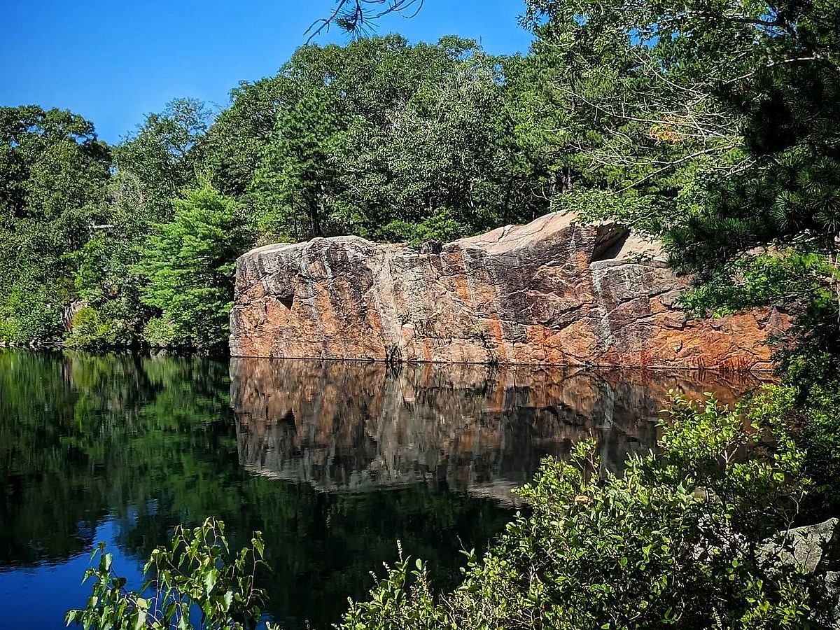
This unique Lanesville parcel in the North Gloucester woods features three abandoned granite quarries and an existing recreational trail network that connects into Dogtown.
Actividades
Por favor, espere, el mapa se está cargando.
Location, Directions & Parking
- 49 Leverett Street, Gloucester (Opens in Google Maps)
There is a small parking area for 2-3 cars on Leverett Street.

The trails are wide and flat, since they were once part of the network of roads used by vehicles and machinery needed to haul in supplies and remove the granite from the quarries.
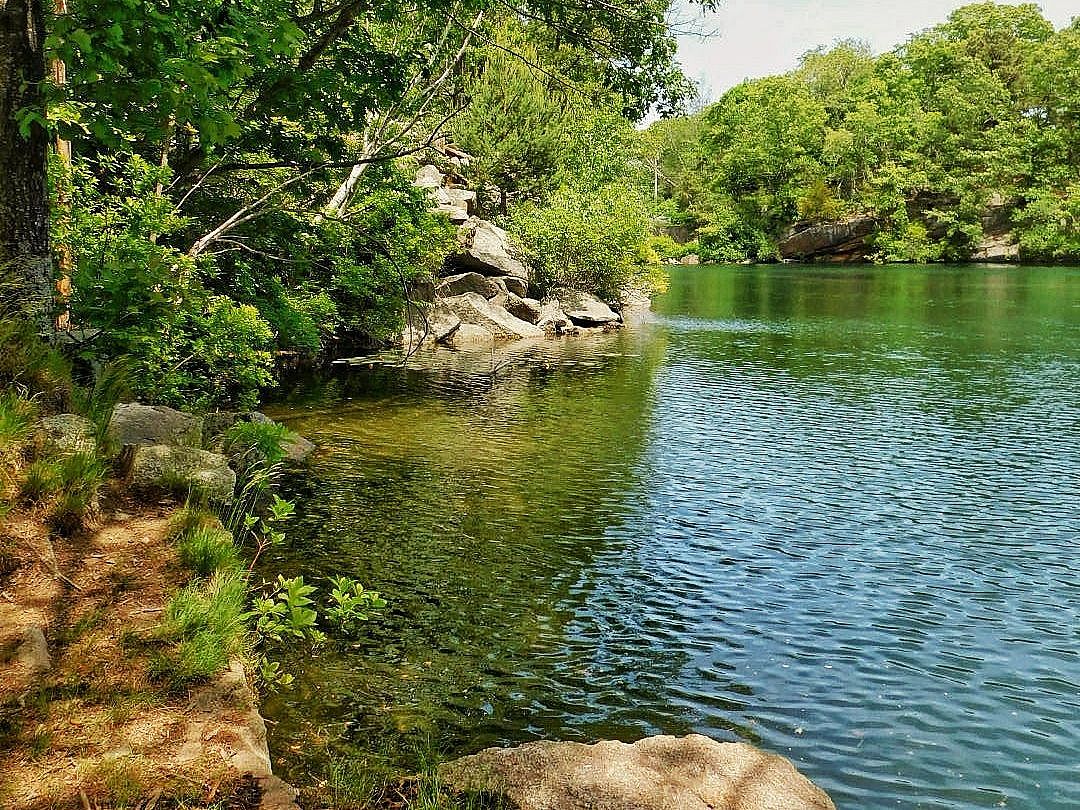
Public trails accessible from Leverett Street meander through the property, circling the quarries and passing through wooded areas, vernal ponds, and intermittent streams.
Before the advent of the quarry industries, this terrain was a continuation of the North Gloucester Woods, abutting New England Forestry Foundation lands as an extension of Dogtown—Cape Ann’s watershed.
To Algonquians living here over millennia, the entire area was important for procuring food, fuel, and forest products such as bark for containers, wigwam shingles, canoes, and burial shrouds; tree resins for gluing, waterproofing, and rendering into syrup; and fibers for weavings, baskets, and lashings.
Indigenous people also quarried for stone, at exposed outcrops. They used stone hammers and chisels to peck out small blocks of granite, rhyolite, and basalt and carried them to manufacturing sites where they further reduced the preforms to make projectile points, tools, and weapons. Many examples of artifacts produced this way have been found over the years and are preserved in local museums and private collections today.
The most-recent quarries were created when the land was mined for granite in the early 1900s. Granite from Cape Ann was highly sought after and was shipped to Boston, New York and Philadelphia. When the mining industry fell on hard times during the Great Depression, these quarries, like many others, were abandoned.
The largest quarry is Barker’s pond, followed by Long Pit and a third, smaller pond called the Children’s Quarry.
Get GreenbeltGo Trails App
Land Acknowledgment
The properties that Greenbelt conserves are on the ancestral lands of the Pennacook and the Pawtucket, bands of Abenaki-speaking people. Join us in honoring the elders who lived here before, the Indigenous descendants today and the generations to come. Learn more…