Rough Meadows Wildlife Sanctuary
Panoramic Marsh Views & Paddler’s Paradise
Discover an astonishing diversity of plants and animals within this extraordinary mosaic of protected property that is part of the 20,000 acre Great Marsh ecosystem.
Aspectos destacados
- 2.6 millas de senderos
 File size: 1 MB
- File size: 1 MB
Por favor, espere, el mapa se está cargando.
Location, Directions & Parking
- Patmos Road, Rowley (Opens in Google Maps)
There is a large parking lot.
Paddle Launch: Park at Sawyers Island, carry boat across field to the put in location along edge of Mud Creek. Best 2 hours before and after high tide.


Note that dog walking is not permitted.
Professor Chandler’s Long Walk
This is the main trail on the Sanctuary and leads to the eastern-most part of the sanctuary where walkers have a spectacular view of the salt marsh. The salt marsh portion of this trail floods at high tide. Please plan your visit accordingly.
Kestrel Trail
A short trail that passes through a field along the edge of a woodland and offers a view into the salt marsh.
Sassafras Trail
Part of a loop with Professor Chandler’s Long Walk, passes through a mixed forest where Sassafras trees are common.
Hickory Trail
Another loop off Professor Chandler’s Long Walk, meanders through an oak and hickory forest along the edge of the salt marsh.
Appy’s Way
A trail leads to a small hill from which walkers can view the salt marsh, a tidal creek, and salt pannes.
Sawyer's Island
The island consists of open field with wooded edges and is bordered by salt marsh. Stands of oak and hickory on the northwest edge of the island provide a lovely sheltered picnic area. A portion of the island - though protected by a conservation restriction - is still privately owned, and we ask that you respect the fence-marked boundary.
An outstanding destination to enjoy hiking, picnicking, bird watching, wildlife photography, and general nature study. Trails traverse the oak forest uplands and skirt the salt marsh, highlighting the sanctuary’s unique natural features, including scenic overlooks.
Note that dog walking is not permitted.
The Great Marsh is the largest continuous stretch of salt marsh in New England. Encompassing barrier beach, tidal river, estuary, mud flats and upland islands, it extends along the North Shore from Gloucester to Salisbury.
Prior to English settlement, people known as the Pawtucket—a branch of the Pennacook from southern New Hampshire, occupied villages on both banks of the Parker River. They made their living on the resources of the Great Marsh and its islands and gathered nearby upland resources such as sassafras roots and hickory nuts. The largest village was Old Town, with a smaller settlement on the Mill River tributary east of Oxpasture Hill in Rowley. Six thousand years ago, as the Great Marsh was forming, earlier Maritime Archaic people discovered it. Their oyster and mussel shell heaps underlie the soft-shell and sea clam middens of the Algonquians who followed them.
Five well-marked trails now lead through magnificent coastal woodlands to several viewpoints, including a viewing platform offering panoramas of the Great Marsh. See excellent examples of natural salt pannes, pools of tidal-influenced water.
Sawyer’s Island, a one-mile hike from the parking area, has spectacular vistas, including an Osprey nesting platform. From the launch near Sawyer’s Island, paddle inland up the Mud Creek, or down into Plum Island Sound. Explore up the Parker River, Plum Island River or tidal creeks on the backside of Plum Island.
The sanctuary represents a unique conservation partnership between Greenbelt and Mass Audubon that came to fruition in 2012. The property connects our combined conservation lands with adjacent parcels held by the Massachusetts Department of Fish & Game, the Town of Rowley, The Trustees of Reservations and the U.S. Fish & Wildlife Service.
Located along the Essex Coastal Scenic Byway, part of the congressionally designated Essex National Heritage Area.
See excellent examples of natural salt pannes, pools of tidal-influenced water. A glacial remnant, salt pannes offer important habitat for coastal shorebirds and waterfowl.
Salt marshes give way to wooded uplands with shagbark hickory, white oak, and sassafras with no two leaves the same. In September, look for the bright red blaze of Salicornia in the salt marsh.
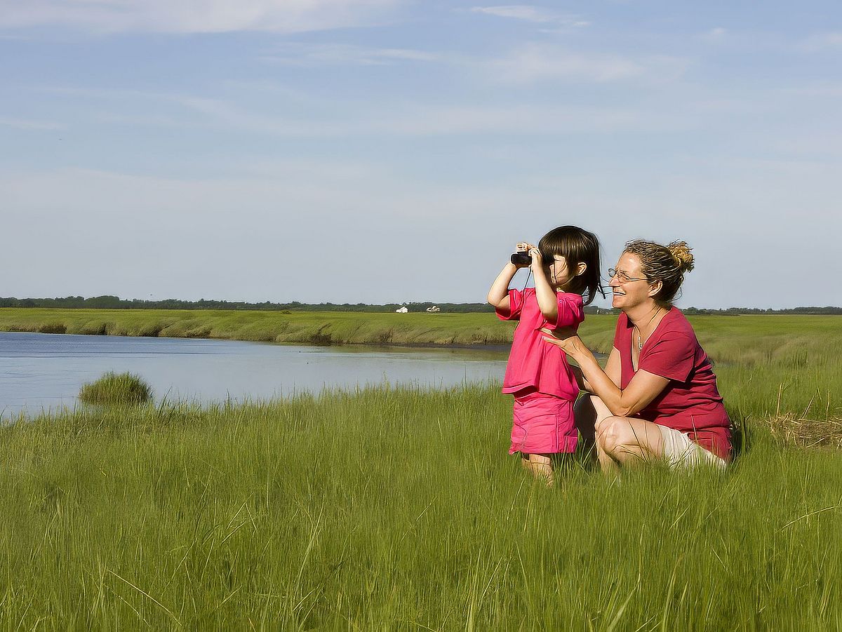
This sanctuary supports an exceptional diversity of birds and mammals. It also serves as critical migratory bird habitat and important breeding grounds for many species of birds, fish, and crustaceans. Bring binoculars to observe an array of songbirds along the wooded trails; shorebirds, egrets and herons in the salt pannes; and an Osprey nest from Sawyer’s Island.
Ability: Intermediate
Terrain: Tidal, marsh, open ocean
Distance: 1-6 hours
Best months: October or November, when the insects have departed, and when you can float among the scoters, long-tailed ducks, goldeneyes, mergansers, and possibly harbor seals.
Launch your boat into Mud Creek. There are endless opportunities for exploring.
Get GreenbeltGo Trails App
Land Acknowledgment
The properties that Greenbelt conserves are on the ancestral lands of the Pennacook and the Pawtucket, bands of Abenaki-speaking people. Join us in honoring the elders who lived here before, the Indigenous descendants today and the generations to come. Learn more…
Conservation Partners
