Signup for our Newsletter
Receive our latest updates by signing up for our newsletter!
Smartphone Apps can add a great deal to your time spent in nature, allowing you to better identify the flora and fauna around you.
While the Greenbelt staff uses many of these apps, we have not personally tested all on the list. However, all are rated 4-Stars or higher. Some may have only Apple or Android versions, most have both. Note that the text is taken from the designers' online descriptions, and is not endorsed by Greenbelt.
Many Apps are free, but some Apps may require in-app purchases to make them fully functional.
Some may require an internet connection (while you are deep in the woods), others may not.
If we’re missing an App that you would like to recommend to the Greenbelt community, please email Alexandra Letizia: alexandra@ecga.org. Have fun out there!
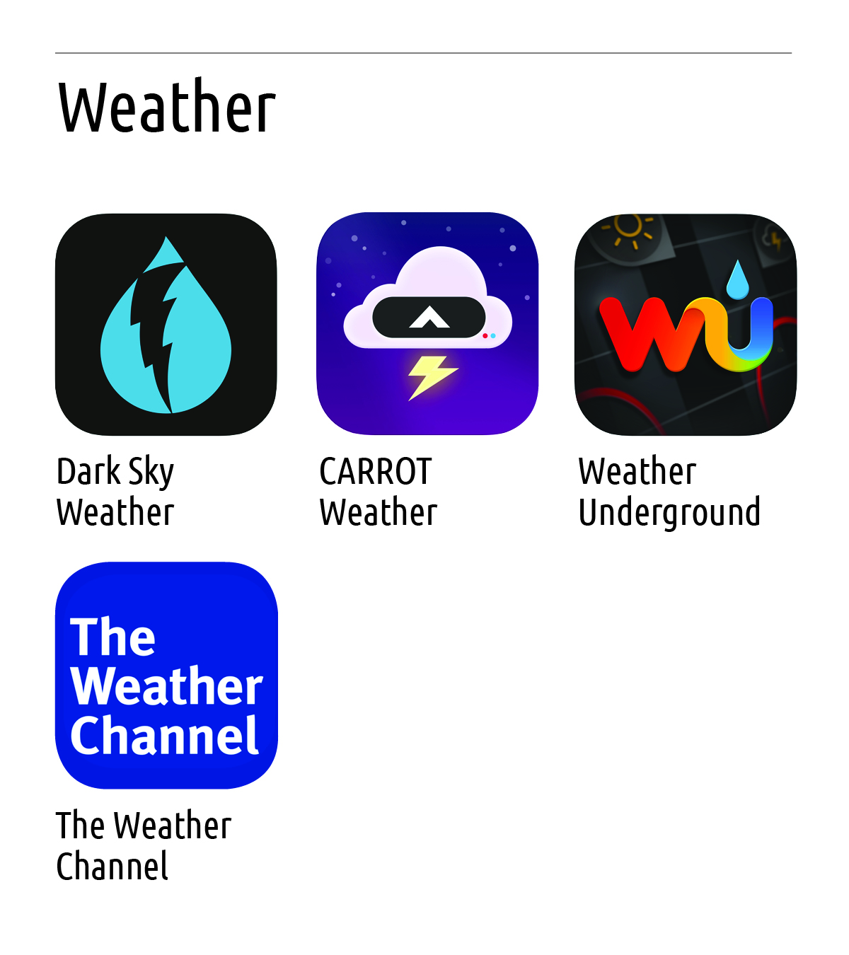
1) Dark Sky Weather: Dark Sky is the most accurate source of hyperlocal weather information. With down-to-the-minute forecasts, you’ll know exactly when the rain will start or stop, right where you’re standing. Dark Sky is able to create forecasts for your precise location, giving you minute-by-minute predictions for the next hour and hour-by-hour forecasts for the next day and week.
2) Carrot Weather: Dark Sky’s super accurate weather data gives you quick access to your current, hourly, and daily forecasts. Plus, you can upgrade to use other providers like AccuWeather, ClimaCell, and MeteoGroup as your data source!
3) Weather Underground: Weather, at a microclimate level. Discover a truly accurate forecast, with real-time and hyper-local weather news and updates. With weather data from over 250,000 personal weather stations and a proprietary forecast model, Weather Underground gives you the most precise weather forecast at a hyper-local level. Find out about current conditions, interactive Nexrad radar, and get customizable weather alerts from NOAA and much more, thanks to our Nexrad radar and Doppler radar technology.
4) The Weather Channel: Never get caught in the rain again with this powerful, free mobile app. Stay informed with reliable forecasts, interactive radar and real-time rain alerts. Visualize weather heading your way with 8 hours of high-resolution past-to-future radar, advanced storm cell tracking, and over 20 map layers.
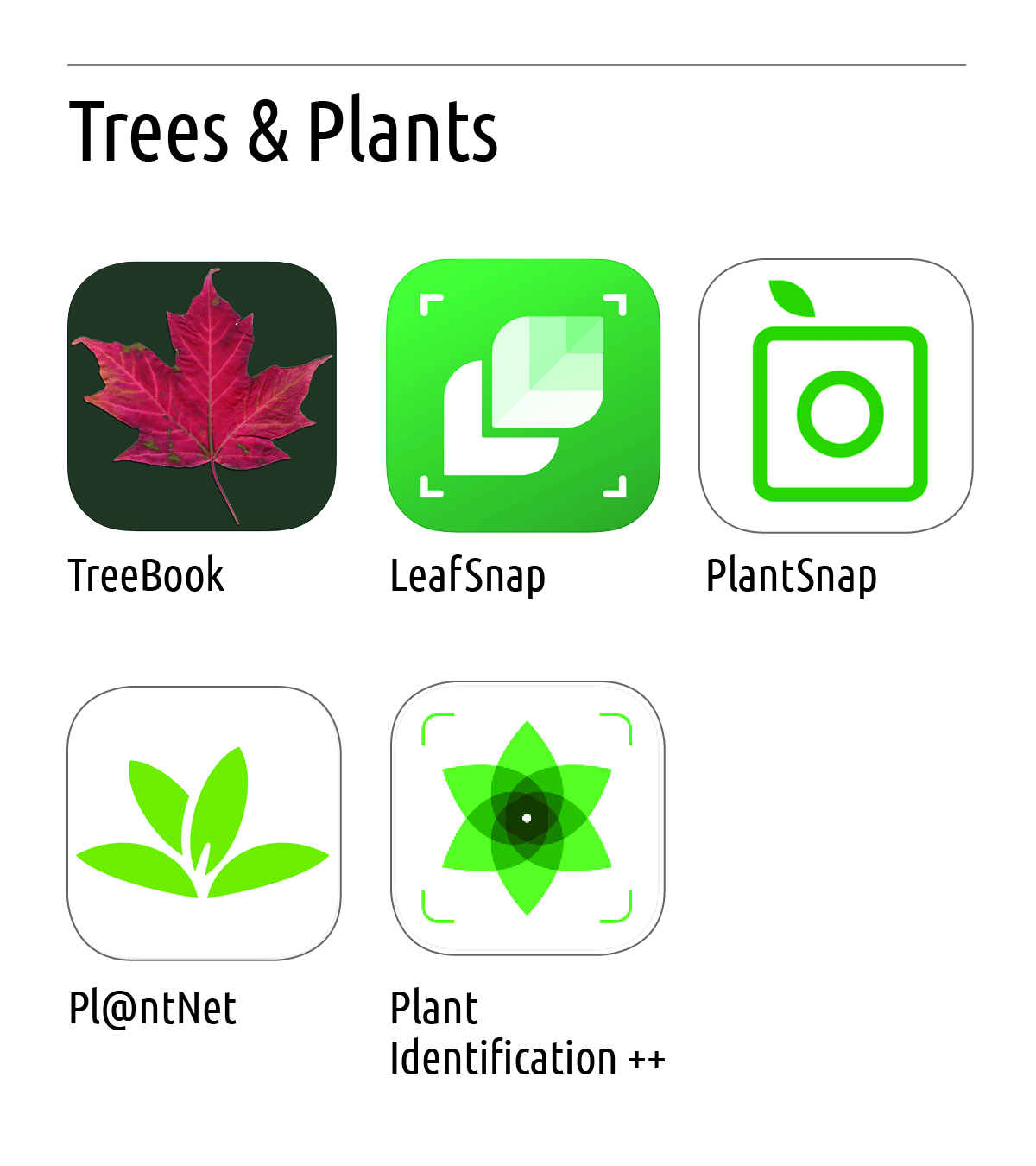 1) Treebook: A free guide to 100 common trees in North America, providing an easy way to identify a tree - with images, search, synonyms for trees, layman terms, and for the more scientifically minded - detailed terminology.
Hand-drawn images, photos, and range maps complete the thorough description of each tree.
Please note, this App only contains information for trees in North America.
2) Plant Identifier – Leap Snap: Leafsnap is an electronic, mobile field guide that uses visual recognition software to help identify tree species from photographs of their leaves.
There are several features available in this app. With the Browse feature, you can search for images of leaves, flowers, or fruit of various tree species. Or, you can choose the Nearby Species feature to see what, if any, tree species have been identified by another Leafsnap user in your region. The Collection feature is where you can place photos of leaves, flowers, or fruit that you have taken with your mobile device and you can take those photos using the Snap It feature. Once you've taken a picture, Leafsnap instantly searches a library of images put together by the Smithsonian Institution. It returns a possible species name, high-resolution photographs, and information on the tree's flowers, fruit, seeds, and bark.
3) Plant Snap: To identify a plant you simply need to simply snap a photo of the plant, and the app will tell you what it is in a matter of seconds! PlantSnap can currently recognize 90% of all known species of plants and trees, which covers most of the species you will encounter in every country on Earth.
4) Pl@ntNet: is an application that allows you to identify plants simply by photographing them with your smartphone. Pl@ntNet is also a great citizen science project: all the plants you photograph are collected and analyzed by scientists around the world to better understand the evolution of plant biodiversity and to better preserve it.
Pl@ntNet allows you to identify and better understand all kinds of plants living in nature: flowering plants, trees, grasses, conifers, ferns, vines, wild salads or cacti. Pl@ntNet can also identify a large number of cultivated plants (in parks and gardens) but this is not its primary purpose. At present Pl@ntNet makes it possible to recognize about 20,000 species, a long way from the 360,000 species living on earth.
5) Plant Identification ++ : Identify plants in a snap. Take a picture with iPhone's camera, or pick a photo from your library, then we'll use advanced machine learning algorithms to identify the plant in the picture. Whether you're hiking on sunny days, or walking by a beautiful flower; whenever you want to figure out the name and details of a beautiful plant, take a picture, and we'll tell you the details instantly.
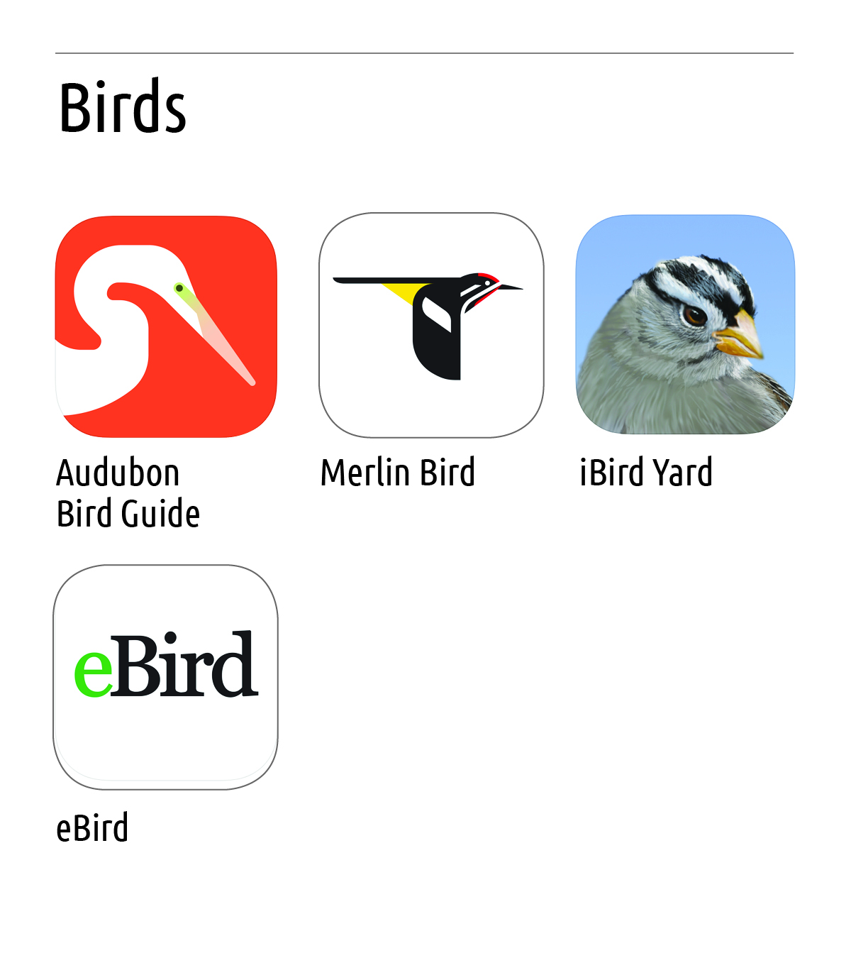
1) The Audubon Bird Guide: is a free and complete field guide to over 800 species of North American birds. Built for all experience levels, it will help you identify the birds around you, keep track of the birds you’ve seen, and get outside to find new birds near you.
Our field guide features over 3,000 photos, over eight hours of audio clips of songs and calls, multi-season range maps, and in-depth text by leading North American bird expert Kenn Kaufman.
2) Merlin Bird ID by Cornell Labs: First, Merlin asks you a few simple questions. Then it reveals the list of birds that best match your description. Pick your bird, then delve into more photos, sounds, and ID tips about your bird!
If you have a photo, Merlin can help there as well. Take a photo, choose from your camera roll, or snap the viewfinder of your zoom camera, and Merlin's powerful AI will suggest an identification almost instantly.
3) iBird Plus Yard Guide: Using iBird's patented “Percevia™” matching system you can identify birds by color, location, shape, habitat or any one of 34 identification attributes. You can even search by bird song. iBird's species pages have hundreds of built-in bird songs, thousands of professional high-resolution bird photographs, over 750 hand drawn composite illustrations and range maps.
From well-known birds to exotic rare species, iBird reveals a list of birds that perfectly match your search choices.
4) eBird by Cornell Lab: eBird Mobile makes it easy to record the birds you see in the field, and seamlessly link these observations with eBird--a global online database of bird records used by hundreds of thousands of birders around the world. This free resource makes it easy to keep track of what you see, while making your data openly available for scientific research, education, and conservation.
- Track your bird sightings from anywhere in the world.
- View your Life, Year, and Month lists for any region or nearby location.
- Full global taxonomy based on The Clements Checklist of Birds of the World.
- Checklists customized for your location and time of year, showing most likely species based on eBird data.
- Real-time feedback on whether a sighting is rare in the area.
- GPS enabled location plotting and tracking options.
- Map tools that show you hundreds of thousands of eBird Hotspots.
- Full offline functionality, enabling use in places with limited or no Internet connection.
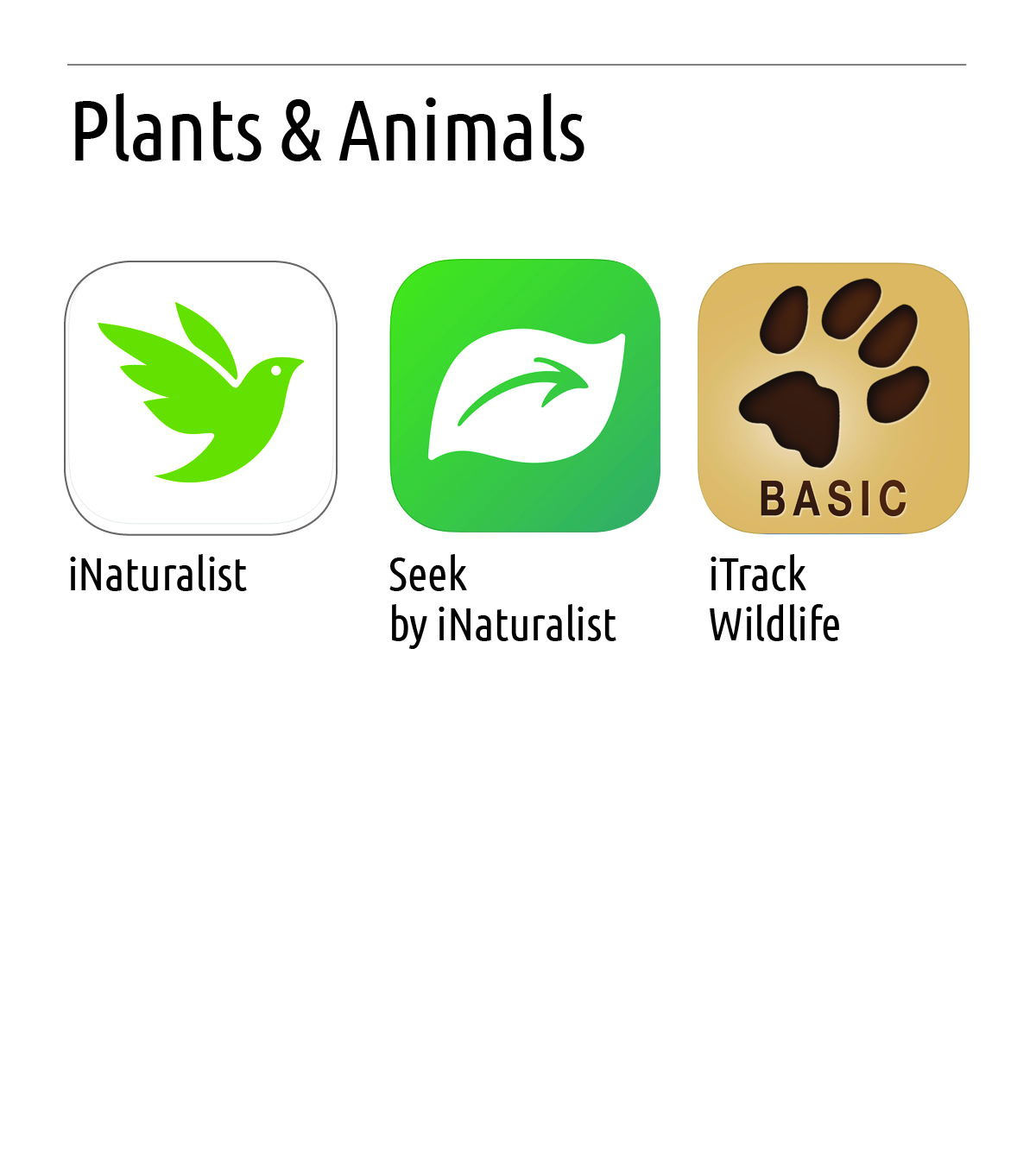 1) iNaturalist.org: Thousands of species are logged in this app, so you can search through and learn more about the species you just spotted. Simply snap a photo, share it on the site and discuss your find with others.
2) Seek by iNaturalist: Use the power of image recognition technology to identify the plants and animals all around you. Earn badges for seeing different types of birds, amphibians, plants, and fungi and participate in monthly observation challenges with Our Planet on Netflix.
3) iTrack Wildlife: iTrack Wildlife is a comprehensive and easy to use digital field guide to mammal tracks. While the simple and intuitive design make this app accessible to the novice, the wealth of accurate information and powerful search tools will appeal to experts and wildlife professionals.
This guide contains track and sign info for 71 common mammals of North America. There are over 700 high quality track, sign, and animal photos with detailed captions including 120 detailed skull photos for 42 of the species, precise front and hind track drawings for every animal, and detailed track, gait, and similar species descriptions.
iTrack Wildlife goes far beyond what a traditional field guide can offer with powerful search tools that make track identification easier than ever before. Simply select basic characteristics of a track you want to identify and you will quickly narrow down your search to just a few similar tracks. Then, browse through the photos until you find your track.
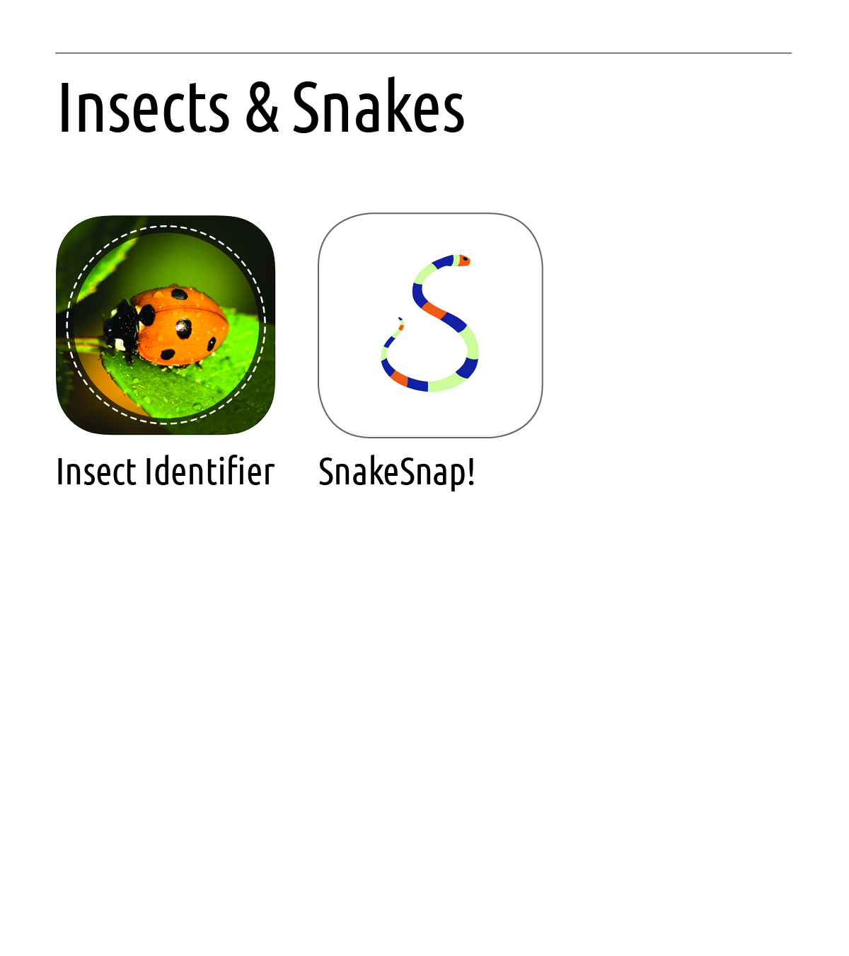 1) Insect Identifier: Just take a picture of an insect using Insect identifier and it will use the machine learning method to show you the taxonomy of insect species. We only receive answers from reliable professionals to train our machine learning algorithm to deliver the best results.
2) SnakeSnap!: SnakeSnap is a mobile application that uses photo identification to help identify snakes, and teach us about the uses and benefits these animals provide to our eco-system. Built for everyone from an avid snake enthusiast, to anyone just interested in learning more about all snake species.
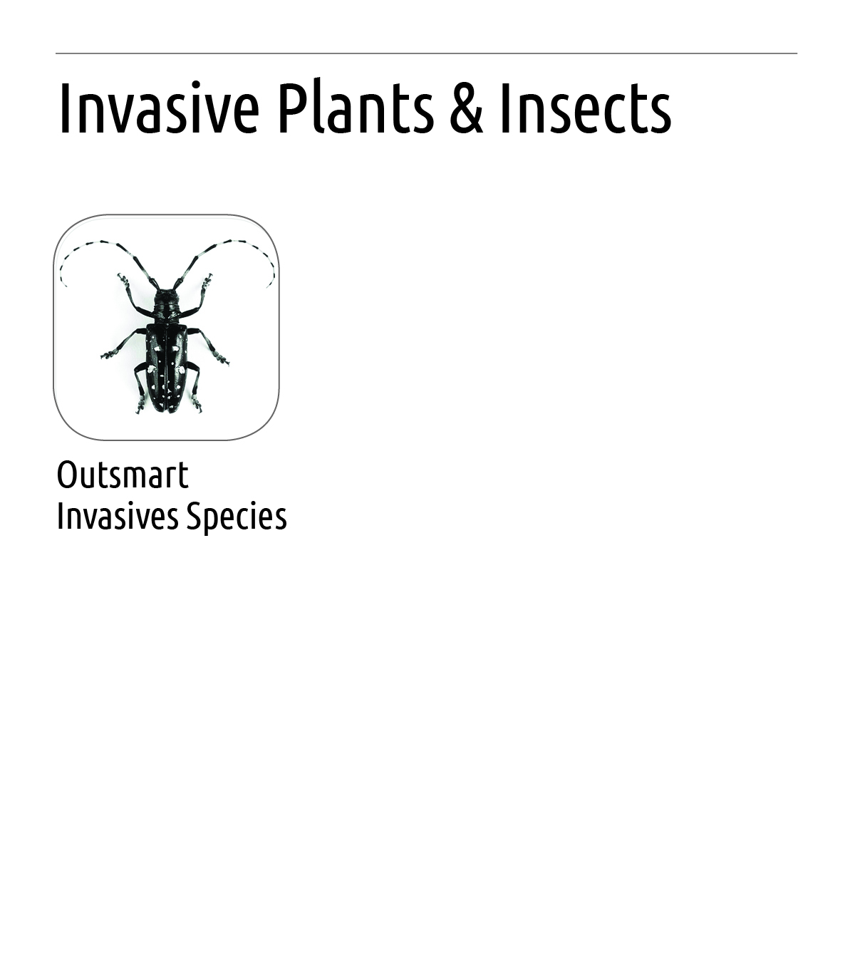 1) Outsmart Invasives: The Outsmart Invasive Species project is a collaboration between the University of Massachusetts Amherst, the Massachusetts Department of Conservation and Recreation and the Center for Invasive Species and Ecosystem Health at the University of Georgia. The goal of the project is to strengthen ongoing invasive-species monitoring efforts in Massachusetts by enlisting help from citizens. The web- and smartphone-based approach enables volunteers to identify and collect data on invasive species in their own time, with little or no hands-on training.
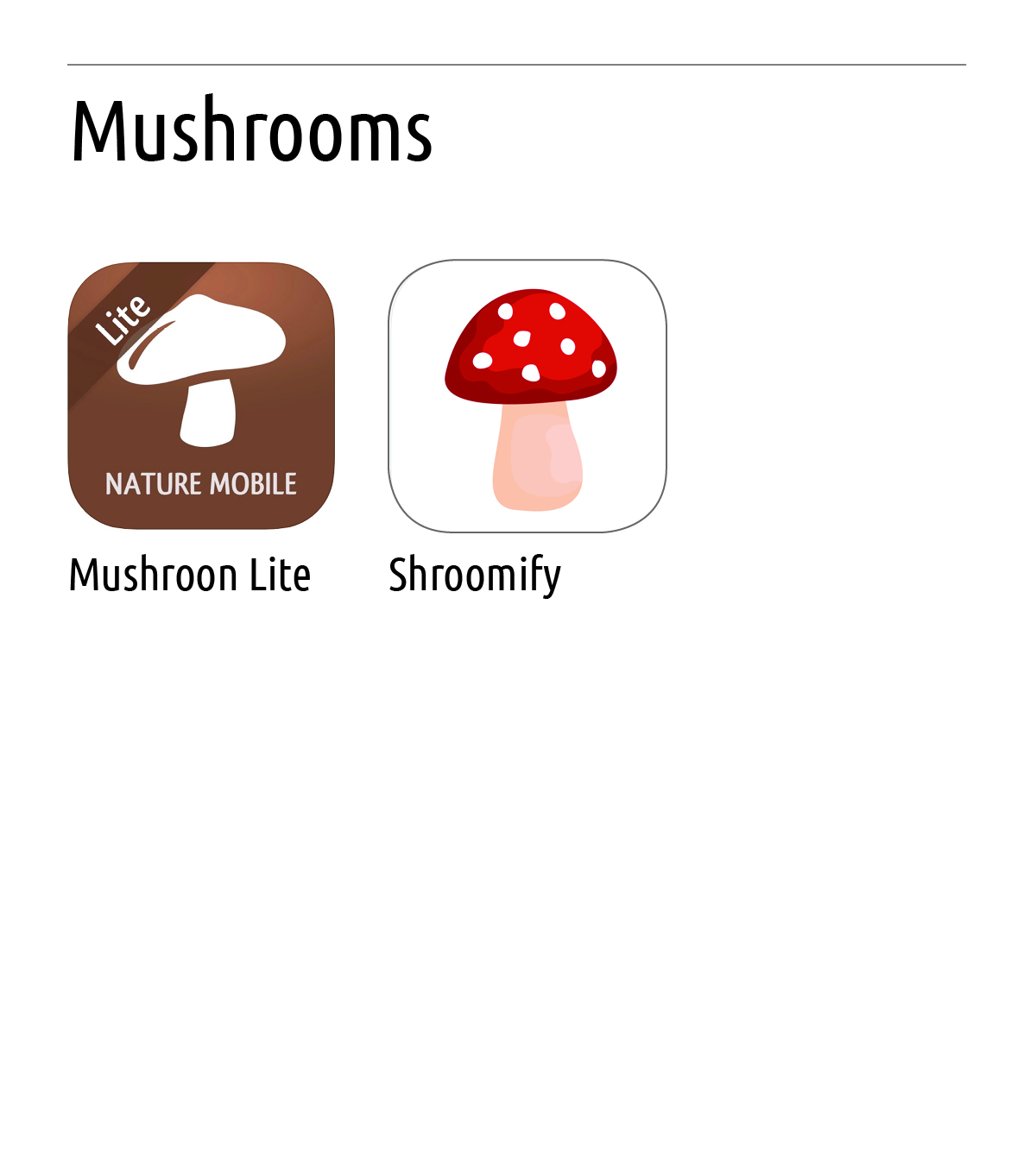 Greenbelt advises that you not ingest any mushroom until you have thoroughly researched it or had it examined by an expert.
1) Mushroom Field Guide to Mushrooms: For each mushroom there is a comprehensive description and a selection of images of different perspectives. Not only occasional collectors will have their fun with the app - mycologists will enjoy it, too, as the content of the app has been compiled by Dr. GERHARDT, author of many mushroom books and scientific publications about mycology. Dr. GERHARDT has been a long-term employee and consultant of Mycology at the Botanical Gardens and in the Botanical Museum of Berlin.
2) Shroomify - Mushroom Identification: Identify Fungi Fast with Shroomify. You simply select the characteristics of the fungi you would like to identify and the in-app algorithms work out the most likely matching mushrooms.
You can also view the 'Top 20' of the month which lists all the common Fungi you can find in the month you are in. The app comes pre-loaded with over 300 common Fungi and over 800 images.
 1) All Trails: Hike Bike & Run: Discover the best hiking, running, and biking trails around the world.
Explore 100,000+ hand-curated trail maps plus reviews and photos crowdsourced from millions of hikers, mountain bikers and trail runners. Find that dog-friendly or kid-friendly trail. Take that mountain biking or backpacking trip you’ve always dreamed of. Explore a national park, or discover new hiking trails in your area.
2) TrailLink: Bike, Run & Walk: Explore bike trails, walking trails, running trails, dog-friendly trails and other outdoor activities. TrailLink is provided by Rails-to-Trails Conservancy (RTC) and powered by RTC's expert trails database which offers unique trail-finder functionality for more than 37,000 miles of multi-use trails.
Rails-to-Trails Conservancy's GIS mapping initiatives have produced more than 37,000 miles of highly accurate trail maps which include tens of thousands of amenity waypoints such as parking lots, trailheads, tunnels, restrooms, drinking fountains & much more — all available for download in the TrailLink app.
TrailLink will allow you to:
•Search for trails near you or by location
•Search for trails on the map
•Read RTC's expert trail descriptions
•Save your trail favorites
•Upload trail photos
•Share trails with friends
•Download RTC's trail maps for offline use
•See your location on the trail
3) Gaia GPS: Hiking, Hunting Maps: Navigate, track, and explore with Gaia GPS. Millions of people worldwide use Gaia GPS maps to backpack, hike, hunt, camp, ski, and explore the backroads.
1) PeakIdentify has a database of over 340,000 mountains, peaks and volcanoes from all over the world. In addition to peak name, the labels also show the height and distance of each peak from you.
PeakIdentify lets you view any photo accessible from your phone or tablet and identifies and labels the peaks in the photo.
 1) Tide Graph Pro: Tide Graph Pro universal app provides over 5,000 up to date and historical US tide and water current predictions without the need for an internet connection. Daily/Weekly/Monthly/Yearly tides graphs. High/Low tide Alert Notifications. Moon Chart. GPS/Map/Search Tides.
2) My Tide Times - Tide Tables, Forecasts & Tides!: Whether you're surfing, fishing or just going to the beach you'll be able to use it to get quick and easy access to the tides.
- Supports over 9,000 tidal stations in over 30 countries (including the US, Canada, Brazil, UK, Spain, France, Germany, Italy, Australia and New Zealand)!
- Find the nearest locations to you when the app opens, so you can get tide times no matter where you are!
- See 7-day forecasts for all locations (some even have 30-day tide charts!)
3) Tide Charts – Free: In addition to worldwide tidal estimates, you can see the lunar data, weather forecast, and current radar making your next outdoor adventure as easy to plan as possible.
By default, the application will pick the closest station to you, but picking a different station is as easy as viewing a map of your current location. You can also setup and quickly switch between many stored favorite stations if you need to.
 1) Geocaching by Groundspeak: Geocaching turns every location into an adventure. Join the world's largest treasure hunting game and discover the world around you in a whole new way. Millions of cleverly hidden containers called geocaches are waiting to be found.
See details with description, recent activity, attributes, and hints for each geocache. Navigate to the cache using map, compass, or driving directions. Live Search continuously updates nearby geocaches as you move.
2) Cachly: Cachly is a simple and powerful Geocaching app for iOS. Find Caches: Current location, coordinates, search for a location, or GC code. Find the directions and route to the cache using Google Maps, Apple Maps, Waze, Sygic, Navigon, Tom Tom, Gaia and Pocket Earth.