Signup for our Newsletter
Receive our latest updates by signing up for our newsletter!
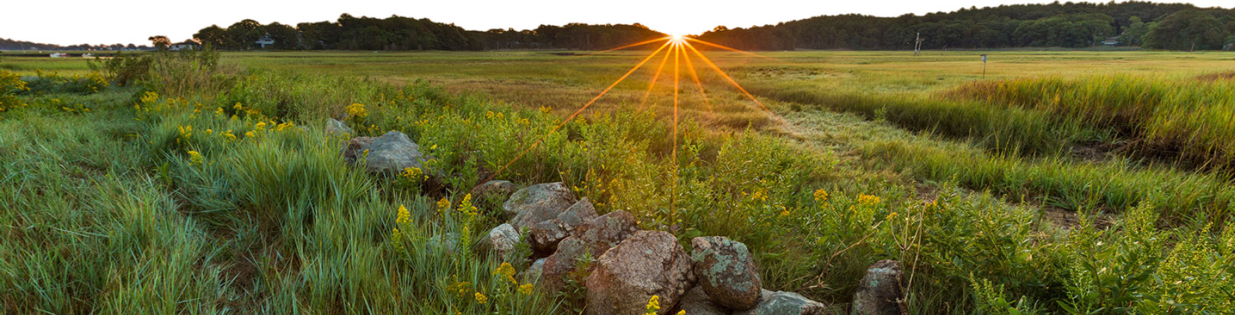
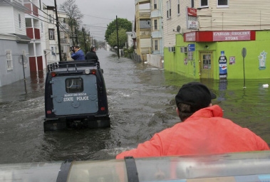
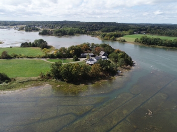
Essex County is characterized, in part, by the ocean, coastline, and the expansive Great Marsh. Over half of the 34 cities and towns in the county border the Gulf of Maine. The northeast is experiencing a range of climate-related impacts, but is particularly susceptible to sea level rise and flooding, the impacts of which can already be seen in our communities. Since 2018, Greenbelt has been engaged in a suite of projects to directly address the impacts of climate change.
Greenbelt has produced a video about our headquarters, the Cox Reservation, a Greenbelt-owned coastal property in Essex.
In this video we explore topics such as local and regional impacts of climate change, the threats to the Reservation, the role of land conservation in climate resilience, and the threats to wildlife and natural systems from sea level rise and flooding.
The video includes interviews with local experts, volunteers, and Greenbelt staff. It can be seen here on Vimeo.
This summer we released two new story maps focused on the topic of climate resilience.
These stories combine photography, video, narrative, and interactive mapping.
The climate resilience story maps allow users to learn about the projected impacts of sea level rise and coastal flooding in their communities and will showcase examples of research and around climate within our region.
They can be seen here on our Story Maps landing page: https://ecga.org/StoryMaps
Over the last two years, Greenbelt has been working on a unique project to prioritize our land conservation work.
Using mapping software, we evaluated land parcels for their capacity to mitigate floodwater, support biodiversity in a warming climate, protect our drinking water, produce natural cooling effects in hot urban areas, as well as support habitat and agriculture.
Here you can see our methodology document, which explains the background of the analysis and highlights the data, methods, and scoring behind the prioritization.
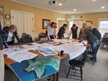
Greenbelt has been working with municipal partners in Essex and Gloucester to refine this data for improved municipal use. That work has led to collaborations with additional communities, where Greenbelt has provided custom maps for open space and municipal vulnerability planning purposes.
We are looking to expand these partnerships in 2020 and beyond, and are excited about the opportunities to incorporate climate resiliency into planning at many different levels.
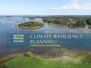
This webinar was hosted by Greenbelt for municipal and land trust employees and volunteers interested in climate resiliency and conservation planning.
In this presentation, we shared the results of our analysis work to prioritize parcels for flood mitigation, urban cooling, natural resilience, and drinking water and discussed how the results can be used for planning and grant funding opportunities.
The webinar took place live on June 17th at 12:00pm.
A recording of the webinar can be viewed on our YouTube page, and slides from the presentation can be downloaded here.
All of this work was funded by a Coastal Resiliency Grant from the Massachusetts Office of Coastal Zone Management.
Additional support for the prioritization project was provided by the Land Trust Alliance, the Towards Sustainability Foundation and the New England Biolabs Foundation